Issue Date: Friday, May 10th, 2019
Issue Time: 8:30AM MDT
— Flooding is NOT expected today
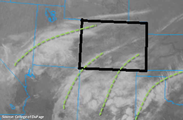
Multiple shortwaves can be seen in the IR image below. For the most part, they are too far south and west of the state to have much influence on the weather this morning. The southern wave is helping provide some lift for showers (lower elevations) and snow over the southern high terrains of Colorado. The wave over Utah is mostly just causing some cloud cover over the Northwest Slope and Grand Valley (with the help of an eastward moving jet). A drier air mass has worked its way into Colorado, although there is still some residual moisture from the previous systems and current shortwaves to cause some cloud cover.
Today, westerly and southwesterly flow aloft is expected as the vorticity max over Utah starts to get pulled westward into the cut off low over southern California. The shortwaves to the south will also provide a little lift over the southern tier of the state through early this afternoon. Overall, the lack of well-organized dynamics should cause a downtick in coverage of afternoon showers and limit the main action to the higher terrains and southwest corner of the state. By early afternoon, coverage of scattered storms should pick up over the San Juan and Central Mountains. Also forecasting an increase in shower activity over the lower terrains of the Grand Valley and Southwest Slope. However, with lower dew points over the low elevations (north of Montrose County), plenty of showers will produce virga. A very dry air mass will slide south over the northern and northwest portion of the state, so not expecting any rainfall here. Southerly movement of the scattered storms this afternoon into the evening may cause a few storms over the southern Front Range and Southeast Mountains. Rainfall and snow should mostly be confined to the mountains, though some light rainfall may stray into the adjacent plains (west of I-25). Overnight snowfall will likely occur over the Southeast Mountains again, but snow is forecast to end around midnight. Flooding is not expected this Friday.
Today’s Flood Threat Map
For more information on today’s flood threat, see the map below. For Zone-Specific forecasts, scroll below the map.
Zone-Specific Forecasts:
Front Range, Urban Corridor, Southeast Mountains, Palmer Ridge, Raton Ridge, Southeast Plains, Northeast Plains:
Cloud cover across all the regions and a few light snow showers over the Southeast Mountains to start the day. Clouds should start to break up throughout the morning with a drier air mass moving in from the north. A few showers may be possible long the southern Front Range near the Divide late this afternoon and over the Southeast Mountains this evening. Totals over the Southeast Mountains may reach 5-10 inches by morning. Flooding is not forecast.
Primetime: 3:30PM to Midnight
Northwest Slope, Grand Valley, Southwest Slope, Northern Mountains, San Luis Valley, San Juan Mountains, Central Mountains:
Warmer temperatures and sun peeking through broken cloud cover over the Northern Mountains and Northwest Slope today. Further south, lingering moisture and a few shortwaves will provide lift for some afternoon/early evening shower and snow activity. Highest accumulations are expected over the San Juan Mountains where snow totals could reach 10-12 inches by morning over the highest terrains. Over the lower elevations of the Southwest Slope, 24-hr totals up to 0.85 inches will be possible with more general totals between 0.2 and 0.4 inches.
Primetime: Ongoing to Midnight