Issue Date: 5/5/2019
Issue Time: 8:40 AM
NO FLOOD THREAT IS FORECAST TODAY.
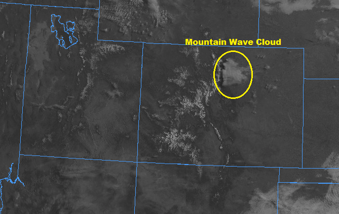
A pleasant start to the day is underway across Colorado, aside from a few clouds over the higher terrain and a mountain wave cloud over the northern Urban Corridor (shown in image below), sunny skies have greeted most of the state. This is in response to high pressure aloft building over the region, and this will allow temperatures to climb a few degrees higher than yesterday’s readings. The abundant sunshine will have its side effects, though, as the high pressure aloft will not be strong enough to suppress a bit of shower/thunderstorm development driven by a combination of daytime heating and a weak disturbance aloft.
With low-level moisture lacking, any shower/thunderstorm development will be high-based, resulting in little precipitation reaching the surface, with the main impact being gusty winds. Over the higher terrain, shower/storm coverage will be scattered, with more isolated activity east of the mountains. There is an opportunity for one or two storms over the far Southeast Plains to tap into some better instability and produce hail up to 1 inch in diameter and gusty winds to 60 mph. For more details on timing, please see the zone-specific discussions below.
Today’s Flood Threat Map
For more information on today’s flood threat, see the map below. For Zone-Specific forecasts, jump below the map.

Zone-Specific Forecasts
Urban Corridor, Northeast Plains, Southeast Plains, Palmer Ridge, and Raton Ridge:
Mostly sunny and a few degrees warmer than yesterday will be the main weather story today. A few isolated, high-based showers/thunderstorms are possible, with the best coverage expected near the interface with the high country. This activity will produce little-to-no precipitation at the surface but will bring gusty winds and plenty of virga. Over the far Southeast Plains, an isolated thunderstorm or two will rumble, producing brief periods of light-to-moderate rainfall, hail up to 0.5-1.0 inches in diameter, and strong winds to 60 mph. The probability of occurrence is 20%, with the better chances existing just across the state line in Kansas, Oklahoma, and Texas.
Maximum rain rates will be less than 0.1 inches for all generic activity, with rain rates from any stronger storms over the Southeast Plains at 0.2-0.5 inches/hour.
Timing: 2 PM – 10 PM
Front Range, Northern Mountains, Northwest Slope, Southeast Mountains, San Luis Valley, Central Mountains, San Juan Mountains, Grand Valley, and Southwest Slope:
Scattered, high-based showers/thunderstorms will kick off over the higher terrain just after lunchtime as daytime heating works in concert with a weak disturbance passing overhead. With low-level moisture lacking, the main impacts will be gusty winds, occasional lightning from weak thunderstorms, and perhaps a brief period of precipitation, mainly over the higher elevations. Activity will diminish quickly after sunset. Maximum rain rates will be less than 0.2 inches/hour for all regions.
Timing: 1 PM – 9 PM