Issue Date: Thursday, May 2nd, 2019
Issue Time: 8:55AM MDT
— Flooding is NOT expected today
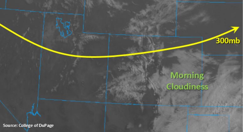
West and southwest flow aloft is expected to take over today as the base of the broad trough slowly shifts eastward. Embedded in the flow are a few minor shortwaves, which will help provide lift for some scattered storms throughout the day. Also, drier air has also moved into the state, which should help limit the areal coverage and rain rates of those storms this afternoon. Currently, the visible satellite imagery shows quite a bit of cloud cover over the eastern plains with more scattered clouds over the higher terrains west of the Continental Divide. A station in the Central Mountains near the Continental Divide is even reporting some light snow. With the drier air in place, the cloudiness to the east should start to breakup with a little solar heating.
Early this afternoon, expecting coverage of scattered storms to increase over the higher terrains (east and west of the Divide) though the best chance for rainfall will be over the southern Front Range and Southeast Mountains as the shortwave moves through. As the storms east of the Divide move into the adjacent plains, with the westward steering winds, daytime heating will allow some instability to build. These means a couple thunderstorms are likely this afternoon, though they are not expected to reach severe criteria. Lighter rainfall is forecast in the immediate adjacent plains with some brief, gusty winds possible due to a large spread in temperature and dew point (limited moisture). Small hail may also be possible further east as the freezing level is lower in the atmosphere this time of year. Coverage of the storms is expected to be greatest over the Palmer Ridge and Southeast Plains. Westward movement of the cluster of storms will continue into the evening as the vorticity max traverses east. Flooding is not expected today.
Today’s Flood Threat Map
For more information on today’s flood threat, see the map below. For Zone-Specific forecasts, scroll below the map.
Zone-Specific Forecasts:
Palmer Ridge, Front Range, Urban Corridor, Northeast Plains, Southeast Plains, Raton Ridge, Southeast Mountains:
Upper level cloudiness is expected to break up throughout the afternoon before the next round of scatter storms start to form over the mountains. Best coverage should again be over the Southern Front Range and Southeast Mountains. As storms are pushed into the adjacent plains, a few thunderstorms are possible. Best chance for a thunderstorm will again be east of I-25 and south of Denver. As the cluster of storms move eastward with the shortwave, some light hail and brief, gusty winds are possible. Max 1-hr rain rates up to 0.25 inches (mountains and adjacent plains) are possible with totals up to 0.7 inches further east over the Southeast Plains. Flooding is not expected.
Primetime: 2PM to Midnight
Northwest Slope, Grand Valley, Southwest Slope, Northern Mountains, San Luis Valley, San Juan Mountains, Central Mountains:
Cloud cover and a light shower or two are currently present over the higher terrains with very cold temperatures over the valleys. Temperatures are expected to rebound a bit today, though highs will still be a bit shy of climatology. This afternoon, scattered storm coverage is expected to increase over the higher terrains, though rainfall accumulation and areal coverage will decrease from the last couple of days. Max 24-hour totals are expected to be under 0.15 inches over the San Juan and Central Mountains with totals under 0.1 inches over the Northern Mountains. Melting of the snowpack over the San Juan and Central Mountains, rainfall and possibly a little rain on snow from yesterday has smaller creeks at the lower elevations creeping towards or at bankfull. With warmer temperatures the next couple of days, we will be watching this closely. A Flood Advisory was issued yesterday by NWS Pueblo for the Conejos and San Antonio Rivers just east of Antonito when emergency management reported minor flooding. While the flow is expected to remain elevated, flooding is not expected today.
Primetime: 2PM to 7PM