Issue Date: Wednesday, May 1st, 2019
Issue Time: 9:30AM MDT
Summary:
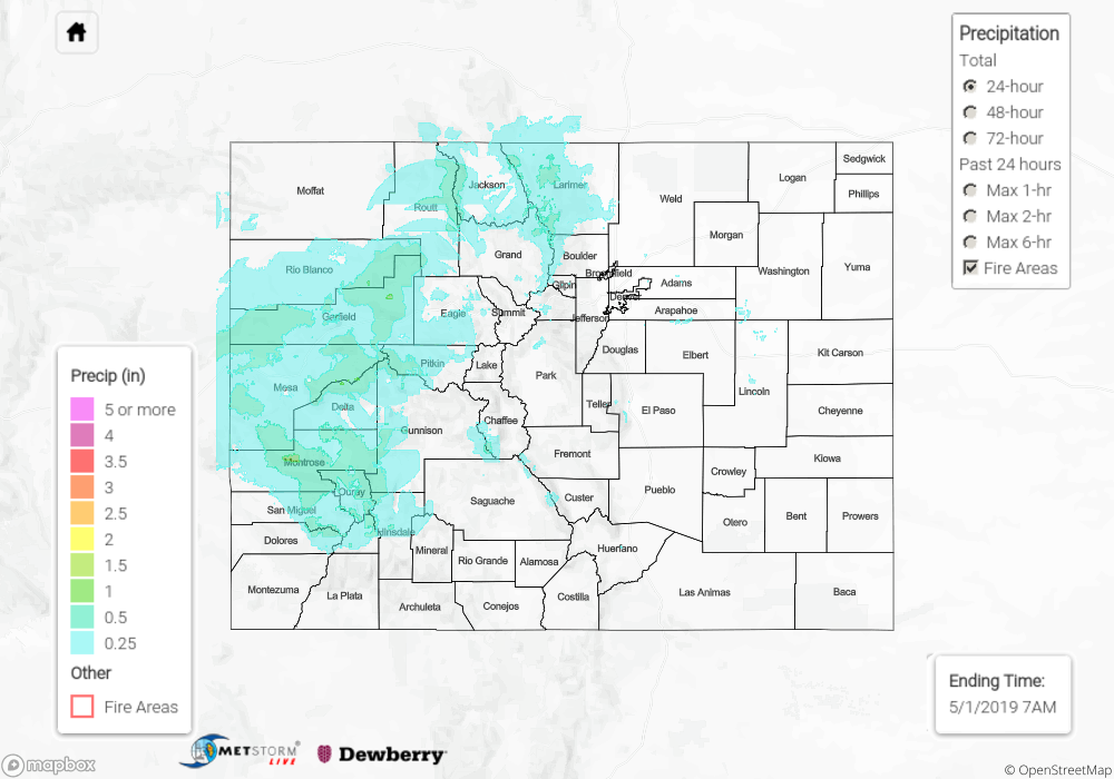
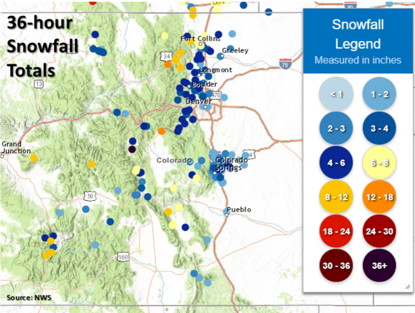
Almost every county across the state received some form of precipitation yesterday. A vorticity max associated with the trough was located over the central portion of the state, and with decent moisture in place, the extra lift was able to produce widespread showers and snowfall. The precipitation fell as snow across the higher elevations with the Front Range and Southeast Mountains receiving 2-8 inches over the last 36 hours. Heavier 24-hour totals were reported over the San Juan and Central Mountains with reports in the 4-10 inch range (see map below). The season of incredible snowfall continues! Tune into the FTO tomorrow for longer and more detailed recap. While the Urban Corridor also saw some snowflakes, most were not able to stick due to ground temperatures above freezing. Overall, temperatures were still a bit below normal. Highs over the Denver Metro area were around 50F, while the eastern plains and western lower elevations reached 60F.
For precipitation estimates in your neighborhood on Tuesday, scroll down to the State Precipitation Map below.
Click Here For Map Overview

