Issue Date: Sunday, September 23rd, 2018
Issue Time: 09:35 AM MDT
Summary:
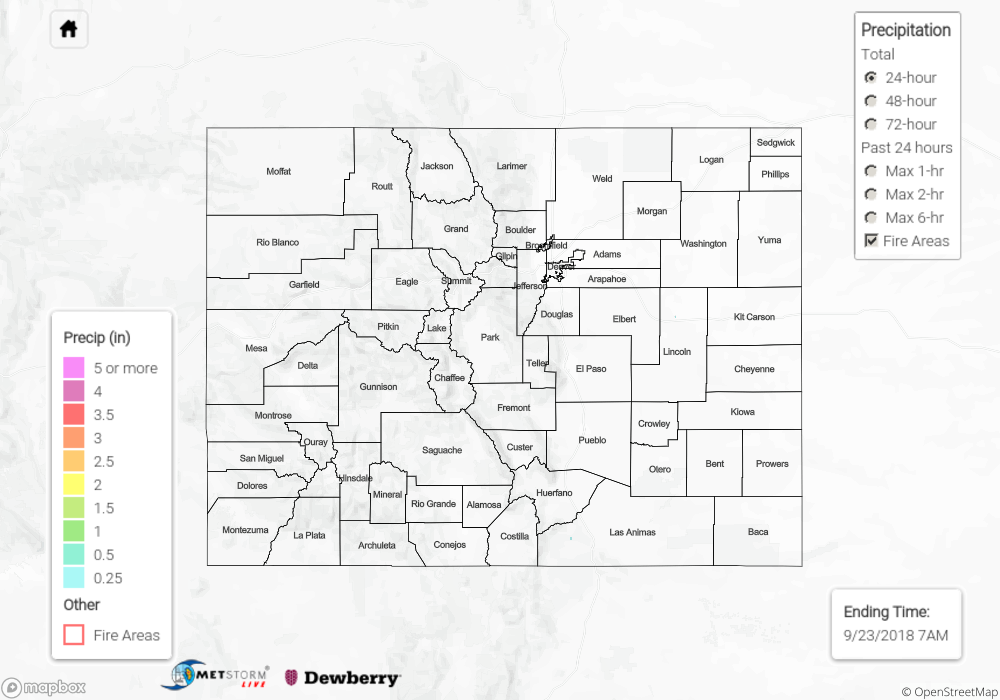
Saturday was seasonably warm and dry, with clear and sunny skies across Colorado. No precipitation was reported yesterday, save for two CoCoRaHS stations in Las Animas county that recorded less than 0.1 inches of rain overnight. Some areas of the state saw temperatures approaching record warmth as the unusual heat continued. Wildfires, particularly in the northwest and southwest parts of Colorado, continued to grow on Saturday. One of the largest fires in the state, the Ryan Fire in Jackson County, is still roughly 0% contained and grew to 3,000 acres yesterday. The Silver Creek fire near Kremmling is still not completely contained as well. The Bull Draw, Plateau, and Burro fires also are a major threat in the Southwest Slope, with the heat, wind, and now dead fall leaves making it difficult for firefighters to contain these strong blazes. No flooding or other storm reports were recorded yesterday.
Click Here For Map Overview