Issue Date: Saturday, September 22nd, 2018
Issue Time: 09:00AM MDT
— Flooding is NOT expected today
Today marks the autumnal equinox and the official start of astronomical fall, and for Colorado a broad upper-level ridge that has been slowly building and moving its way east off of the Pacific Coast will entrench itself above the state. At the surface, this will bring high pressure and fair weather to across the state as we begin the morning with clear skies and cool temperatures. Indeed, much like the last couple of days, the Northwest Slope and Grand Valley woke up to very chilly temperatures. Some valley areas in these regions saw overnight lows in the upper 20’s.
As the sun further rises, winds will gradually pick up out of the south, and – despite chilly morning temperatures – temperatures in the late morning and through the afternoon will be warmer than average, making for a sunny and pleasant first day of fall. The dry and warm southerly air will have some drawbacks, however, with a lingering threat of fire weather. Luckily, wind speeds will not pick up enough to warrant a Red Flag Warning any part of the state, save for the northwest part of Moffat County in the Northwest Slope. No flooding is expected for today.
Today’s Flood Threat Map
For more information on today’s flood threat, see the map below. For Zone-Specific forecasts, scroll below the map.
Zone-Specific Forecasts:
Urban Corridor, Palmer Ridge, Northeast Plains, Southeast Plains, Raton Ridge, Front Range, Southeast Mountains:
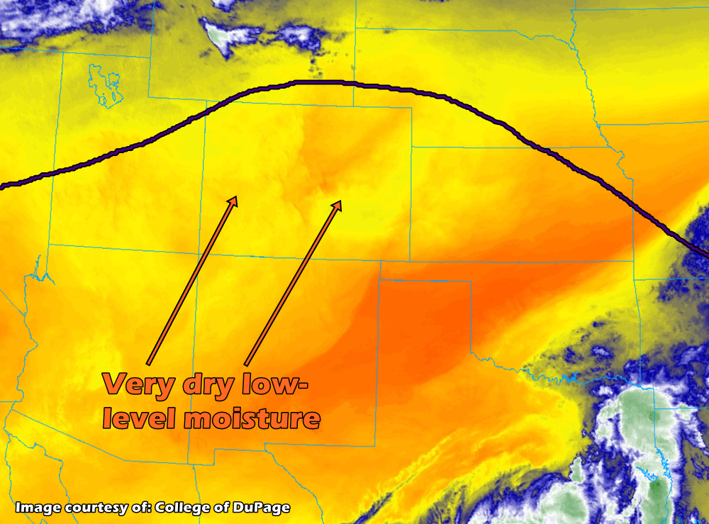
A sunny and clear start to the morning, with relatively calm and variable winds across the plains and through the mountains east of the great divide. Dewpoints will struggle to get above 40 degrees F today, except for a north-south slot from western Animas up through Huerfano, Pueblo, and El Paso counties. Here, dewpoints may reach as high as 50 degrees, but with virtually no mechanism to lift this moisture aloft, there will be very little chance for afternoon cloud build-up, let alone any precipitation. Afternoon temperatures throughout the eastern plains areas and the Urban Corridor will be in the mid-80s, and further west along the Front Range expect afternoon highs in the 70s.
Northern Mountains, Northwest Slope, Central Mountains, Grand Valley, San Juan Mountains, Southwest Slope, San Luis Valley:
Another chilly and clear start to the morning, with valley areas reaching below freezing overnight, especially in the Northwest Slope. As the high pressure builds throughout the state during the day, winds will be light and generally from the south. Expect temperatures in the low 80s and light winds in the Northwest and Southwest Slope regions and upper 60s/lower 70s in the mountainous regions with slightly windier conditions. No precipitation is forecast today, and while the vast majority of the region is not within a Red Flag Warning, fire weather potential is still elevated today due to the warm and dry temperatures.