Issue Date: Sunday, June 14th, 2015
Issue Time: 9:25 AM MDT
The streak of active weather that Coloradoans have endured since May has easily spilled over into June. In addition to disturbances in the upper-atmosphere that have been routinely passing overhead, favoring thunderstorms, another supporting factor has been the very high soil moisture and vegetation. In most areas, especially east of the Divide, remarks have been made about how green the landscape is, or how fast the grass is growing (my backyard looks like a jungle…I hope there is not a mountain lion family that has set up shop without letting me know). Plants release an incredible amount of water into the atmosphere, and help maintain very high dewpoints that are one critical element to heavy rain-producing thunderstorms.
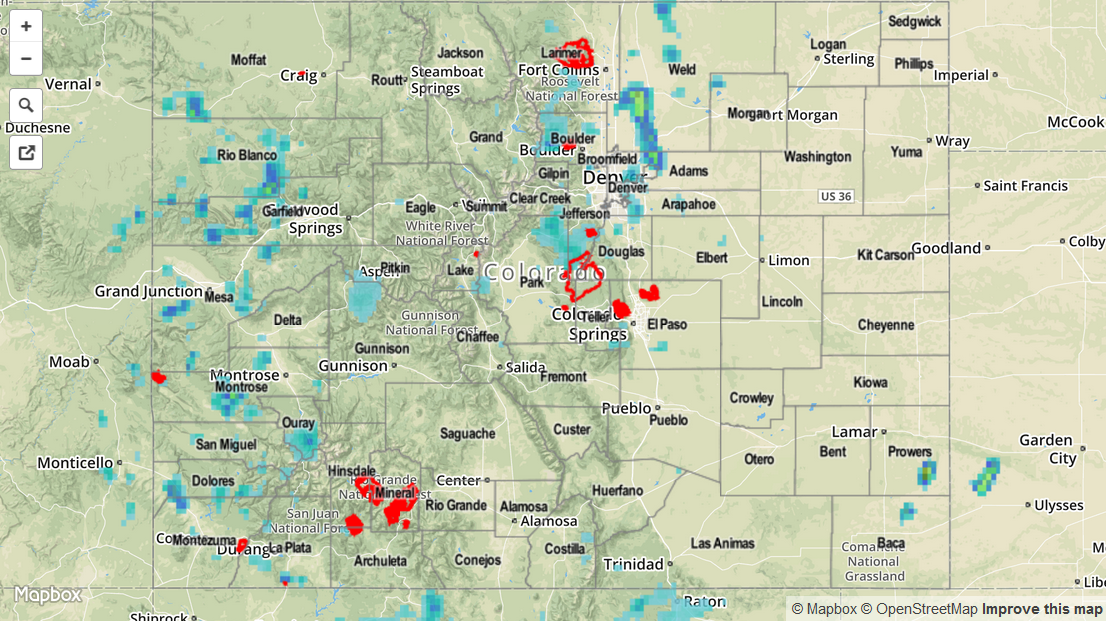
Dewpoint temperatures once again stayed in the 40s and 50s on Saturday and combined with favorable conditions aloft to yield thunderstorms. Early thunderstorms were mostly a nuisance in nature, with generally light rainfall amounts of well below an inch. However, as storms stayed around and combined with other storms, by mid-afternoon rain began to come down in sheets in a few places. The most intense storm in the state was likely in Weld County where an observer recorded a 24-hour rainfall of 1.74 inches; most of this fell with the aforementioned one storm in an hour or so. This storm caused flash flooding near Milliken where Highway 66 was closed due to flood waters. Meanwhile, the normally dry San Luis Valley finally notched some beneficial water, with Alamosa reporting about 0.6 inches. Thunderstorms also dotted the landscape west of the Divide, though rainfall was less than 0.5 inches for the vast majority of locations.
For estimated rainfall in your area, be sure to check out the rainfall map below.