Issue Date: Tuesday, September 18th, 2018
Issue Time: 09:00 AM MDT
Summary:
Another repetitive SPM post as little changed in the upper-level pattern yesterday. Temperatures reached 90F at the lower elevations again, so that can be added to the tally of 90F+ days for the season. Some mid-level moisture streamed in with a shortwave, which helped provide some afternoon cloud cover and a few light showers over the northern high terrains. Trace amounts of rainfall and totals up to 0.05 inches were reported over the Northern Mountains and Front Range. A 60 mph wind gust was reported in Moffat County near Craig from a thunderstorm, which was likely not helpful for firefighters. There were also some light showers associated with the shortwave as it moved along the CO/WY border. Totals up to 0.25 inches were reported over Sedgwick County. It will only be a couple more days before fall starts and some fall-like temperatures make it into the forecast. I think everyone will welcome the break from the heat and dry at this point. It will also help fight the 10 fires burning across the state, especially the Ryan and Silver Creek Fires.
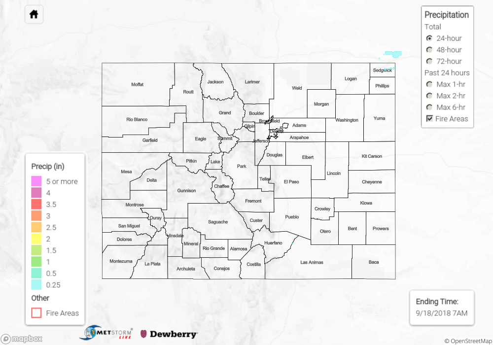
Once again, nothing to see on the State Precipitation Map below.
Click Here For Map Overview
The map below shows radar-estimated, rainfall gage-adjusted Quantitative Precipitation Estimates (QPE) across Colorado. The map is updated daily during the operational season (May 1 – Sep 30) by 11AM. The following six layers are currently available: 24-hour, 48-hour and 72-hour total precipitation, as well as maximum 1-hour, 2-hour and 6-hour precipitation over the past 24 hour period (to estimate where flash flooding may have occurred). The 24-hour, 48-hour and 72-hour total precipitation contain bias corrections that are not disaggregated into the hourly estimates, so there will likely be some differences. The accumulation ending time is 7AM of the date shown in the bottom right corner. Also shown optionally are fire burn areas (post 2012), which are updated throughout the season to include new burn areas. The home button in the top left corner resets the map to the original zoom.