Issue Date: Tuesday, September 18th, 2018
Issue Time: 08:20AM MDT
— Flooding is NOT expected today
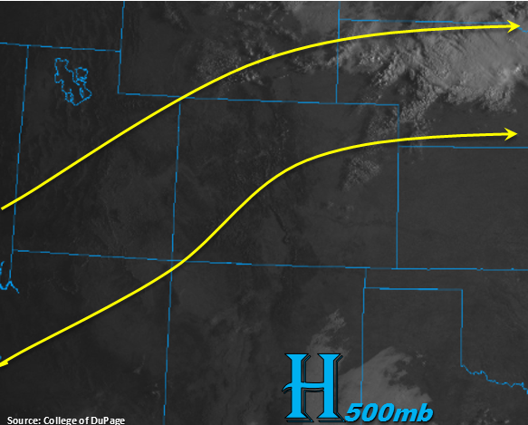
Just a few mid-level clouds over the Northeast Plains to start the morning, otherwise nothing but clear skies. The severe clear skies to our southwest are an indication that mid-level cloud cover this afternoon will be less today. Not seeing any signs of a shortwave in the water vapor imagery, which has brought the increased moisture the last two days. Soundings confirm this theory showing a drier layer between 500 and 600mb. With Precipitable Water (PW) values at Grand Junction and Denver near 0.6 inches, it will be another day without measurable rainfall though some high-based clouds may produce a few sprinkles over the mountains. The southwest winds aloft will continue for one more day, which will continue to promote hot afternoon temperatures. Highs over the lower elevations will reach the mid 90Fs with close to 100F over the far eastern plains. The higher elevations should expect temperatures in the mid 70Fs. As mentioned in yesterday’s FTO, an upper-level jet will move into the northwest corner of the state as the trough transitions east. This will bring some breezy conditions this afternoon with surface winds in the 15-25 mph range over the Northwest Slope, Grand Valley, Central Mountains and Northern Mountains. Gusts up to 35 mph are possible. While a Red Flag Warning has not been issued, enhanced fire weather is expected through this evening. Flooding is not expected today.
Today’s Flood Threat Map
For more information on today’s flood threat, see the map below. For Zone-Specific forecasts, scroll below the map.
Zone-Specific Forecasts:
Northern Mountains, Northwest Slope, Central Mountains, Grand Valley, San Juan Mountains, Southwest Slope, San Luis Valley:
The hot temperatures continue for another day. Not expecting too much cloud cover this afternoon as mid and upper-level moisture is lacking. Still could get some scattered clouds over the San Juan Mountains though with a couple sprinkles near the Divide. The jet begins its move eastward this afternoon, which will place it over the northwest corner of the state. While a Red Flag Warning has not been issued, dry fuels, gusts to 35 mph and surface winds in the 15 to 25 mph range will produced enhanced fire weather through this evening. As always, please use caution with any outdoor activities capable of producing a spark.
Urban Corridor, Palmer Ridge, Northeast Plains, Southeast Plains, Raton Ridge, Front Range, Southeast Mountains:
Another hot and dry forecast for Tuesday. Highs over the lower elevations will be close to record values with extreme September heat (near 100F) again over the far eastern plains. Not expecting as much cloud cover this afternoon though some scattered clouds are possible over the southern Front Range/Palmer Ridge intersect and Southeast Mountains. A few of the storms near and along the Continental Divide may produce a sprinkle or two and some brief winds, but measurable rainfall is not anticipated. Models hint at downsloping winds off the eastern mountains today, which may produce some windy conditions in the foothills and immediate adjacent plains. This will keep fire danger elevated, so continue to exercise caution.