Issue Date: Monday, September 17th, 2018
Issue Time: 09:10 AM MDT
Summary:
I guess you can say that we’re still in the dog days of summer with the multiple days of 90F+ heat. It’s hard to believe that fall is beginning at the end of this week. A bit more mid-level moisture streamed into the state yesterday, which helped bring some increased cloud cover and welcomed shade from the heat. With such dry low-levels in the atmosphere, only trace amounts of rain (sprinkles, really) reached the surface in a very patch pattern. However, the increased moisture did bring some relief to fire weather in western and north-central Colorado. Red Flag Warning criteria was not quite met, which helped fight the ongoing fires. Northwest Colorado is currently fighting five wildfires: Ryan Fire (Routt County), Silver Creek Fire (Grand County), Cache Creek Fire (Garfield County), Boone Draw and Three Wash Fires (Moffat County).
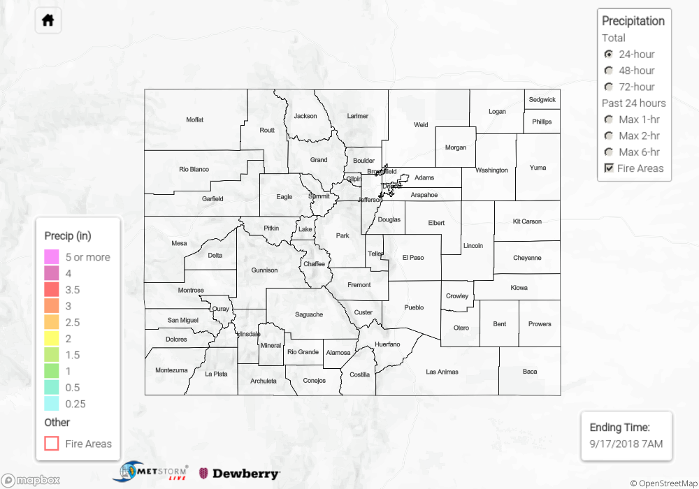
With ongoing dry conditions, not too much to see on the State Precipitation Map below.
Click Here For Map Overview
The map below shows radar-estimated, rainfall gage-adjusted Quantitative Precipitation Estimates (QPE) across Colorado. The map is updated daily during the operational season (May 1 – Sep 30) by 11AM. The following six layers are currently available: 24-hour, 48-hour and 72-hour total precipitation, as well as maximum 1-hour, 2-hour and 6-hour precipitation over the past 24 hour period (to estimate where flash flooding may have occurred). The 24-hour, 48-hour and 72-hour total precipitation contain bias corrections that are not disaggregated into the hourly estimates, so there will likely be some differences. The accumulation ending time is 7AM of the date shown in the bottom right corner. Also shown optionally are fire burn areas (post 2012), which are updated throughout the season to include new burn areas. The home button in the top left corner resets the map to the original zoom.