Issue Date: 9/9/2018
Issue Time: 6:45 AM
NO FLOOD THREAT IS FORECAST TODAY.
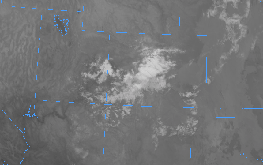
Plenty of sunshine is on tap today, with high temperatures ticking up a few degrees higher than yesterday. Drier air will be filtering in from the west, but enough mid-level moisture will hang on for a few isolated high-based showers and thunderstorms during the afternoon and evening hours. A quick look at the infrared imagery below shows the current cloud cover over, much of it over the high country and south of I-70, denoting where the best mid-level moisture currently resides.
The majority of activity will occur over the High Country south of I-70 in response to remaining moisture and the presence of a weak disturbance, and a few isolated, high-based showers/thunderstorms will drift over the adjacent lower elevations of eastern Colorado. The main impacts of any activity will be gusty winds and light rainfall, with brief periods of moderate rainfall underneath any thunderstorm activity over the Southeast Plains and Raton Ridge. For more information on rain rates and timing, please see the zone-specific forecast discussions below.
Today’s Flood Threat Map
For more information on today’s flood threat, see the map below (hover over threat areas for more details). For Zone-Specific forecasts, jump below the map.


Zone-Specific Forecasts
Urban Corridor, Palmer Ridge, Northeast Plains, Southeast Plains, and Raton Ridge:
The main weather story today will be the plentiful sunshine and warmer temperatures, with only a couple isolated, high-based showers/thunderstorms breaking up the otherwise quiet day during the afternoon and evening hours. Most of the activity will occur west of I-25, employing the help of nearby terrain. Rain rates will be tempered by dry air beneath the cloud bases; generally speaking, rain rates will be less than 0.15 inches/hour, with maximum rain rates of 0.2-0.5 inches/hour underneath thunderstorms over the Southeast Plains and Raton Ridge.
Timing: 1 PM – 9 PM, with an isolated shower or two lingering until 10-11 PM
Front Range, Northern Mountains, Northwest Slope, Central Mountains, Southeast Mountains, Grand Valley, San Juan Mountains, Southwest Slope, and San Luis Valley:
Dry conditions and mostly sunny skies will be the main weather story for most today, with a few isolated-to-scattered showers/thunderstorms dotting the area during the afternoon/evening. The bulk of the activity will occur south of I-70 where the better moisture (relatively speaking) will be positioned. Rain rates will generally be less than 0.15 inches/hour, with maximum rain rates of 0.2-0.3 inches/hour.
Timing: Noon – 9 PM