Issue Date: Saturday, June 13th, 2015
Issue Time: 8:55 AM MDT
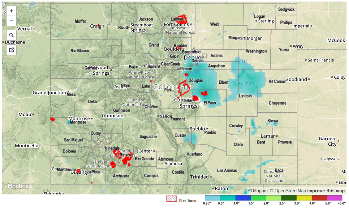
Friday’s weather began in a threatening fashion, with many residents along the Urban Corridor waking up to moderate rainfall. Over many areas, this was falling on saturated soils from the previous day’s rainfall making runoff especially high. However, once the rainfall subsided in the late morning hours, the atmosphere indicated that it needed a break! Despite high dewpoint temperatures in the 50s, and adequate precipitable water, storms that formed in the Southeast Plains and San Juans just could not muster any strength. A close inspection of yesterday afternoon’s atmosphere revealed a disturbance leaving the state, causing significant sinking air motion in the upper levels. The result: the odds of widespread heavy rainfall were much reduced. Nonetheless, at least one isolated storm took advantage of the juicy atmosphere to deliver very heavy rainfall. This storm reportedly dumped 2 inches of rain in less than 30 minutes near the town of Kim, in Las Animas County. Fortunately, this kind of action was few and far between, and no official flood reports were observed.
Many high and low elevation rivers were swollen from Thursday’s rainfall, but Friday’s drying gave them an opportunity to recede a bit. Only small stretches of the South Platte, Arkansas remain in Minor flood stage. The lowering of stream levels is expected to continue as the snowpack is now almost completely gone.
For estimated rainfall in your area, be sure to check out the rainfall map below.