Issue Date: Monday, September 3rd, 2018
Issue Time: 09:38 AM MDT
Summary:
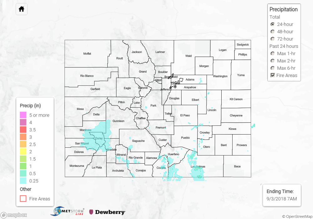
The upper-level low to our southwest drifted into the four corners region on Sunday and continued to promote thunderstorm and shower activity. Low-level moisture increased over eastern Colorado, which allowed more scattered storms to form over the adjacent plains near the Southeast Mountains. However, the higher moisture remained south and east of the state, so precipitation totals yesterday were under 1 inch. With a little bit of instability, some stronger storms formed over the San Juan Mountains, and small hail (0.25 inches) was reported near Hesperus, CO. Several CoCoRaHS stations in northern Rio Grande County reported rainfall in the 0.75 to 1 inch range for the 24-hour period. Even the San Luis Valley was able to get some light rain as rainfall continued over the Southeast Mountains overnight. Over the eastern, adjacent plains totals estimated by radar were up to 0.5 inches. Flooding was not reported on Sunday.
To see how much precipitation fell over your area yesterday, scroll down to the State Precipitation Map below.
Click Here For Map Overview
The map below shows radar-estimated, rainfall gage-adjusted Quantitative Precipitation Estimates (QPE) across Colorado. The map is updated daily during the operational season (May 1 – Sep 30) by 11AM. The following six layers are currently available: 24-hour, 48-hour and 72-hour total precipitation, as well as maximum 1-hour, 2-hour and 6-hour precipitation over the past 24 hour period (to estimate where flash flooding may have occurred). The 24-hour, 48-hour and 72-hour total precipitation contain bias corrections that are not disaggregated into the hourly estimates, so there will likely be some differences. The accumulation ending time is 7AM of the date shown in the bottom right corner. Also shown optionally are fire burn areas (post 2012), which are updated throughout the season to include new burn areas. The home button in the top left corner resets the map to the original zoom.