Issue Date: Friday, August 24th, 2018
Issue Time: 09:15 AM MDT
Summary:
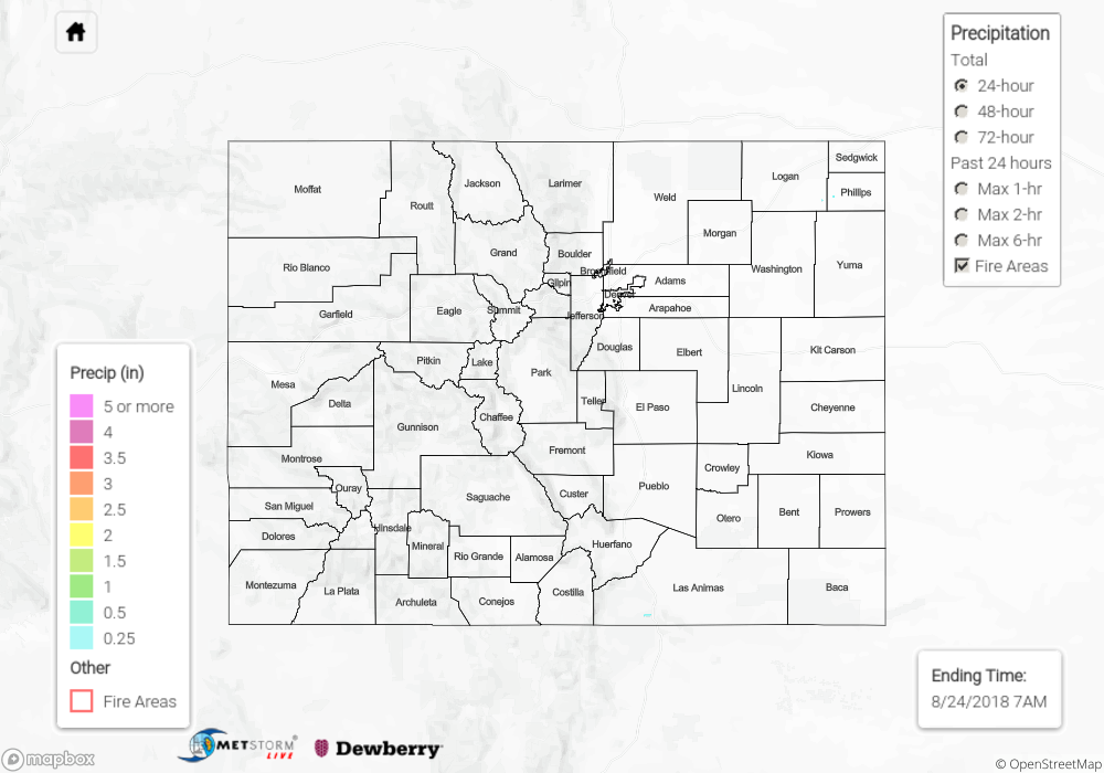
There were a few showers to start the morning over the northwest corner of the state. However, downsloping winds and increased subsidence behind the trough on Thursday brought an end to the monsoon surge. This decrease in low-level moisture could be seen in the rapidly dropping dew points, which went from the 50Fs to low 40Fs throughout the day. This contributed to a downtick in afternoon thunderstorm activity; however, some weak storms over southern Colorado still popped up in the afternoon. A bit more low-level moisture remained over this portion of the state as seen in the water vapor imagery from yesterday’s FTB. Again, low dew points and swift steering winds limited the amount of rainfall the storms were able to produce. Max radar estimated 24-hour totals near the Raton Ridge were just under 0.5 inches. To the west, a CoCoRaHS station in southern Dolores County recorded 0.31 inches. Flooding was not reported on Thursday.
To see how much precipitation fell over your area the last 48 to 72 hours, scroll down to the State Precipitation Map below.
Click Here For Map Overview