Issue Date: Tuesday, August 21st, 2018
Issue Time: 09:25 AM MDT
Summary:
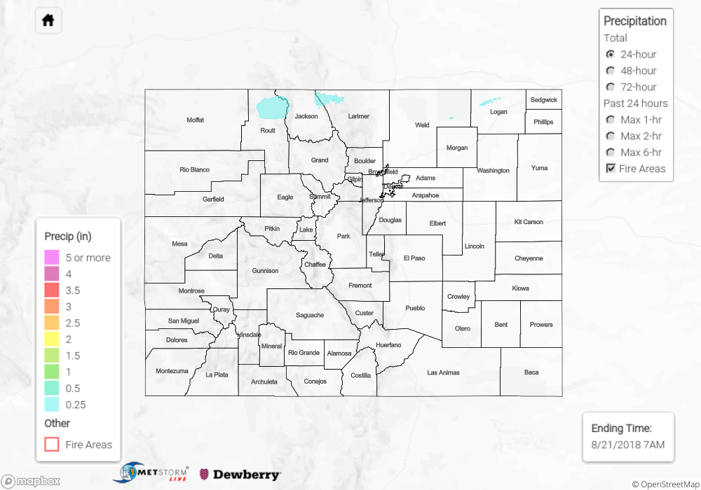
Monday was quite hazy with the smoke from the west under the northwesterly/westerly flow aloft. Visibility was reduced to the 3-5 mile range for most areas over eastern Colorado. An upper disturbance and jet streak brought some light showers and weak thunderstorms to the norther portion of the state. Without much moisture in the air, rainfall totals were quite low. More virga and upper cloud cover was present over the lower valleys of western Colorado, but that is forecast to change the next couple of days. The highest CoCoRaHS report from Monday was in Routt County where 0.48 inches was recorded. The Stillwater Creek SNOTEL site in Grand picked up 0.4 inches in the 24-hour period. Radar estimates over the Northeast Plains along the CO/WY border were just over 0.25 inches. Flooding was not reported on Monday.
To see how much precipitation fell over your area the last 72-hours, scroll down to the State Precipitation Map below.
Click Here For Map Overview