Issue Date: Monday, August 13th, 2018
Issue Time: 09:30 AM MDT
Summary:
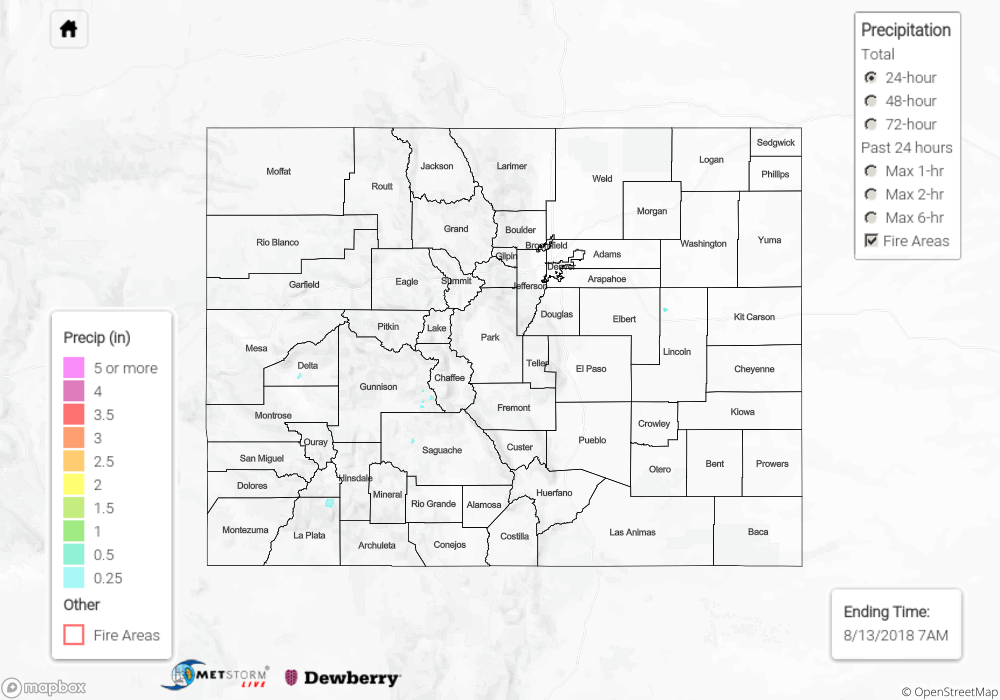
Residual moisture under the ridge helped kick off some thunderstorms over the Central and San Juan Mountains on Sunday. Highest moisture was further south, thus storms to the north produced gusty winds and rainfall totals under 0.1 inches. A few storms even drifted into the San Luis Valley. CoCoRaHS stations in Alamosa recorded up to 0.21 inches with totals up to 0.25 inches in the area. Further west, a CoCoRaHS gage near Purgatory Ski Resort recorded 0.35 inches with a nearby SNOTEL (Cascade) recording 0.6 inches. Sharkstooth SNOTEL (near Burro Mountain) recorded 0.5 inches, and a CoCoRaHS near Dolores recorded 0.79 inches. A Flash Flood Warning was issued for northeast Montezuma County for this thunderstorm since it tracked over the recent burn scars, but no flooding was reported as of this morning. Small hail was also reported in this area with a storm report of 0.75 inch diameter hail coming from Dolores.
To see how much precipitation fell over your area the last 72-hours, scroll down to the State Precipitation Map below.
Click Here For Map Overview