Issue Date: Wednesday, August 1st, 2018
Issue Time: 09:15 AM MDT
Summary:
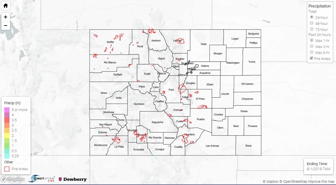
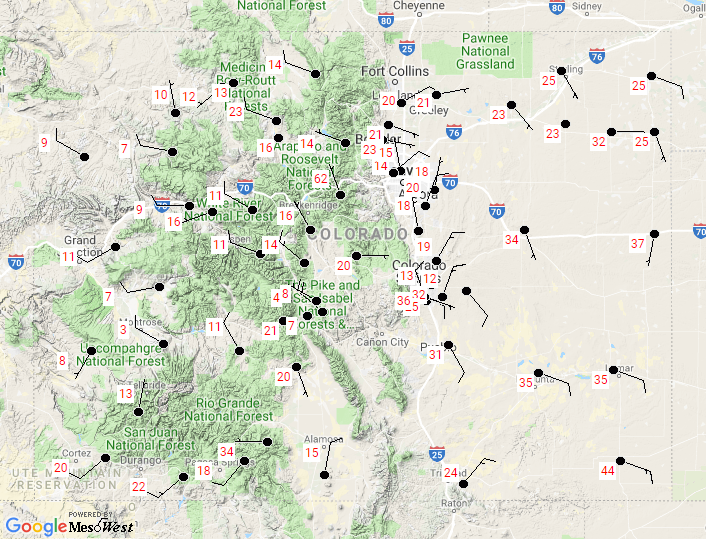
Continued entrainment of dry air from the north and rising pressure heights suppressed shower and thunderstorm activity across the state on Tuesday. Below are the relative humidity values from yesterday at 4PM. Most regions are in the 20-30% range with stations over western Colorado in the single digits. Thankfully winds were weak, so there were lesser fire concerns. Some moisture was able to hang on over the far southern border, so there were a few showers and thunderstorms over the San Juan and southern tip of the Southeast Mountains during the afternoon. The Cumbres Trestle SNOTEL site in the area recorded 0.4 inches. As we start August, the drought continues to worsen over the Southeast Plains/Mountains and northwest corner of the state with only limited improvements over the Northern Mountains and Front Range. Here’s to hoping this next surge of monsoon moisture will help alleviate the dry soils, and at the same time, avoid recent burn scars.
To see how much precipitation over your neighborhood the last 72-hours, scroll down to the State Precipitation Map below.
Click Here For Map Overview