Issue Date: Wednesday, June 25th, 2018
Issue Time: 9:30 AM MDT
Summary:
Scattered showers and thunderstorms dotted the Colorado High Country again yesterday, while isolated storms rumbled across eastern Colorado. A couple storms were strong-to-severe, and moisture values remained high enough for thunderstorms to produce heavy rainfall; and produce heavy rainfall they did. Flash flooding was reported in multiple locations, with the following reports submitted to the National Weather Service:
-2 miles S of Rockwood (La Plata County): Flash flooding at the KOA Campground
-3 miles SW of Tacoma (La Plata County): Major flooding along HWY 550 between mile markers 33.6 and 37
-1 mile SSE of Coaldale (Fremont County): County Road 40 in Coaldale flooded and impassable
-5 miles SE of Red Wing (Pueblo County): Major flooding on Pass Creek
-Various reports of flooding across Arapahoe County: Significant intersection flooding at Santa Fe and Oxford; Santa Fe Drive and West Oxford Avenue closed due to flooding creating a sinkhole; Road closed at East 6th Avenue and South Picadilly Road due to flooding; Flooding at intersection of East Iliff Avenue and S. Chambers Road; Flooding at South Buckley Road and East Bates Avenue; Flooding at East Hampden Avenue and S. Uravan Way
-11 miles N of Fort Morgan (Morgan County): Flash flood
-1 mile NE of Log Lane Village (Morgan County): Roads T.5. and V flooded west of HWY 52
-1 mile ESE of Fort Morgan (Morgan County): People trapped in cars on East Riverview Avenue due to water up to the doors
-4 miles NNW of Royal Gorge (Fremont County): US HWY 50 closed due to mud on the road at mile marker 271
-2 miles NW of Gardner (Huerfano County): CO HWY 69 closed at Gardner Road due to flooding
Showers and thunderstorms winded down after sunset, with a few showers and run-of-the-mill thunderstorms lingering into the early morning hours. For a look at precipitation estimates in your area, please see our State Precipitation Map below.
Click Here For Map Overview
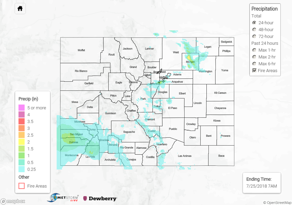
The map below shows radar-estimated, rainfall gage-adjusted Quantitative Precipitation Estimates (QPE) across Colorado. The map is updated daily during the operational season (May 1 – Sep 30) by 11AM. The following six layers are currently available: 24-hour, 48-hour and 72-hour total precipitation, as well as maximum 1-hour, 2-hour and 6-hour precipitation over the past 24 hour period (to estimate where flash flooding may have occurred). The 24-hour, 48-hour and 72-hour total precipitation contain bias corrections that are not disaggregated into the hourly estimates, so there will likely be some differences. The accumulation ending time is 6AM of the date shown in the bottom right corner. Also shown optionally are fire burn areas (post 2012), which are updated throughout the season to include new burn areas. The home button in the top left corner resets the map to the original zoom.