Issue Date: Saturday, July 21st, 2018
Issue Time: 9:30 AM MDT
Summary:
The upper-level high that was centered near the 4-corners region shifted to the southeast yesterday, beginning the stream of subtropical moisture over the state that is expected to continue over the next couple of days. This led to an afternoon/evening filled with scattered showers and thunderstorms over the High Country, Southeast Plains, and Raton Ridge, where moisture was best (relatively speaking). Shower/thunderstorm coverage and intensity peaked during the late afternoon/evening hours, with lingering showers and a few weak thunderstorms into the early morning hours. In addition to these regions, one lonely, high-based shower managed to kick up over the Northeast Plains, thanks to the efforts of the Cheyenne Ridge, but produced little, if any, rainfall.
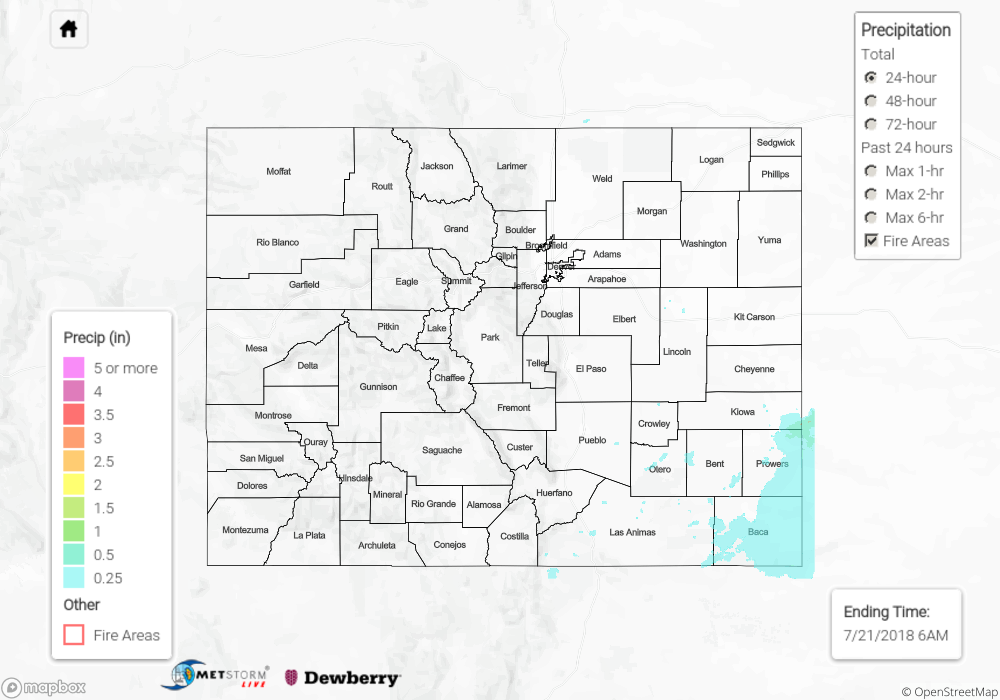
Due to a relative lack of good, low-level moisture, storms were unable to produce the heavy rainfall necessary for flash flooding. Most shower/thunderstorm activity produced less than 0.1 inches of total rainfall, with stronger storms over the Southeast Plains generally resulting in 0.2-0.6 inches of total rainfall with locally higher amounts. For a look at precipitation estimates in your area, please see our State Precipitation Map below.
Click Here For Map Overview
The map below shows radar-estimated, rainfall gage-adjusted Quantitative Precipitation Estimates (QPE) across Colorado. The map is updated daily during the operational season (May 1 – Sep 30) by 11AM. The following six layers are currently available: 24-hour, 48-hour and 72-hour total precipitation, as well as maximum 1-hour, 2-hour and 6-hour precipitation over the past 24 hour period (to estimate where flash flooding may have occurred). The 24-hour, 48-hour and 72-hour total precipitation contain bias corrections that are not disaggregated into the hourly estimates, so there will likely be some differences. The accumulation ending time is 6AM of the date shown in the bottom right corner. Also shown optionally are fire burn areas (post 2012), which are updated throughout the season to include new burn areas. The home button in the top left corner resets the map to the original zoom.