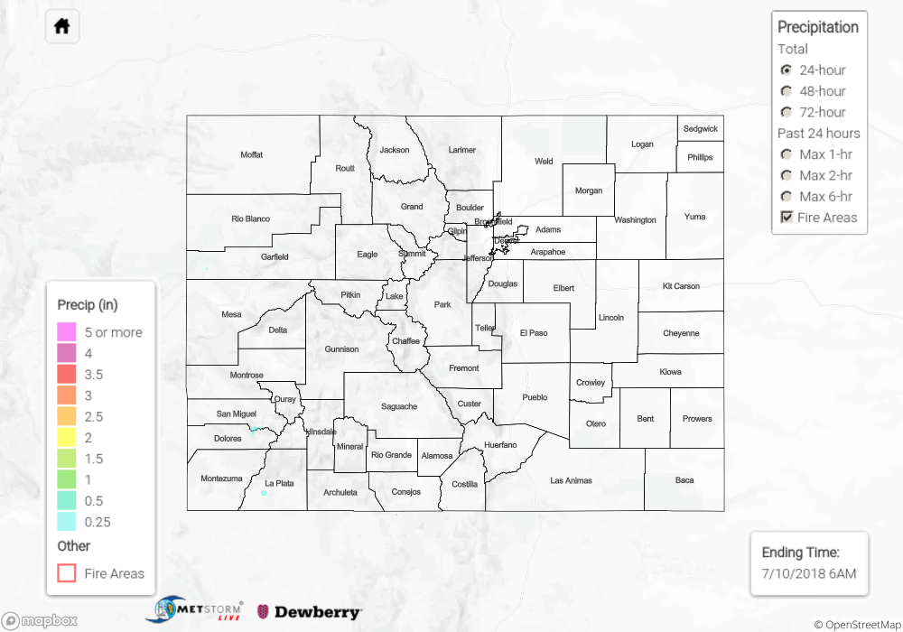
Issue Date: Tuesday, July 10, 2018
Issue Time: 09:50 AM MDT
Summary:
With the high pressure over the Nebraska panhandle and the ridge’s slow movement to the east, another day of clockwise rotation occurred in Colorado’s upper atmosphere. This pulled in some very dry air from the east at the low-levels and pushed the main subtropical moisture over western Colorado further west into Utah and Arizona. Between these two factors, the intensity and coverage of the storms yesterday were reduced. Over eastern Colorado, general subsidence and the entrainment of dry air allowed only for a few light showers over the higher terrains. The southwest corner of the state was the most active on Monday with thunderstorms kicking off over the San Juan Mountains by 3PM. CoCoRaHS in the area just south of the San Juan Mountains recorded up to 0.3 inches of rain. Near the two main burn areas, ASOS stations recorded just over 0.10 inches with the Scotch Creek SNOTEL receiving 0.5 inches. Luckily, none of the higher rain rate producing storms tracked directly over the burn areas. More isolated showers and thunderstorms occurred over the Central Mountains, Grand Valley and northwest corner of the state. Radar rainfall estimates were under 0.1 inches. All thunderstorm and shower activity ended by 11PM.
There was no flooding reported on Monday. To see how much precipitation fell in your area, scroll down to the State Precipitation Map below.
