Issue Date: Sunday, July 8th, 2018
Issue Time: 9:30 AM MDT
Summary:
Underneath a ridge of high pressure aloft, recycled moisture was tapped into by orographic lift and strong daytime heating to produce showers and thunderstorms over the mountains. The best coverage of storms occurred along and west of the Continental Divide, while east of the Continental Divide, the mountains were dotted with more isolated coverage. Owing to a lack of wind shear aloft, storms were poorly organized, producing gusty winds, lightning, and light-to-moderate rainfall.
A few isolated thunderstorms were able to overcome steep odds to develop over the Urban Corridor, as a weak surface boundary set up over the area. The boundary provided enough lift to aid daytime heat in the creation of a couple storms during the afternoon/evening hours. Due to the dry air below the elevated cloud bases, gusty winds and cloud-to-ground lightning were the main impacts, with brief periods of light rainfall.
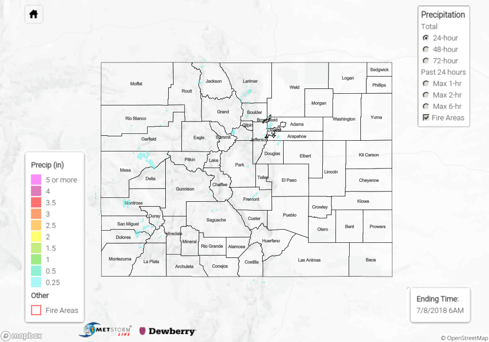
A Flash Flood Warning was issued for the 416 Fire burn area as heavy rain fell across the burn scar, but no observed flooding issues were reported. However, it is possible that heavy rain caused debris slides/mud flows within the 416 Fire and Burro Fire burn scars. For a look at precipitation estimates in your area, please see our State Precipitation Map below.
Click Here For Map Overview
The map below shows radar-estimated, rainfall gage-adjusted Quantitative Precipitation Estimates (QPE) across Colorado. The map is updated daily during the operational season (May 1 – Sep 30) by 11AM. The following six layers are currently available: 24-hour, 48-hour and 72-hour total precipitation, as well as maximum 1-hour, 2-hour and 6-hour precipitation over the past 24 hour period (to estimate where flash flooding may have occurred). The 24-hour, 48-hour and 72-hour total precipitation contain bias corrections that are not disaggregated into the hourly estimates, so there will likely be some differences. The accumulation ending time is 6AM of the date shown in the bottom right corner. Also shown optionally are fire burn areas (post 2012), which are updated throughout the season to include new burn areas. The home button in the top left corner resets the map to the original zoom.