Issue Date: Saturday, July 7th, 2018
Issue Time: 9:30 AM MDT
Summary:
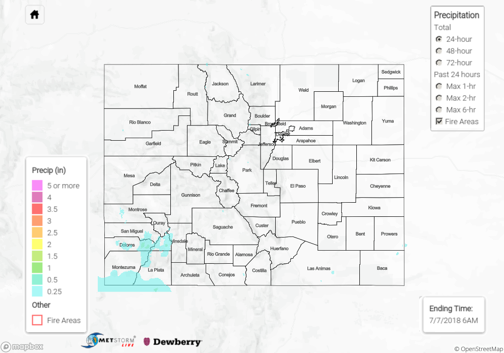
Underneath a ridge of high pressure aloft, daytime heating, orographic lift, and a couple weak disturbances were the driving forces behind yesterday’s showers and thunderstorms. Activity was mainly anchored to the higher terrain thanks to weak steering flow winds. A few lower elevations on the Western Slope got in on some light rainfall, but not much more. The Southwest Slope and San Juan Mountains received the bulk of precipitation yesterday, thanks to being influenced by the best moisture. Most activity over the High Country ended around 9 PM, with lingering showers/thunderstorms over southwest Colorado into the early morning hours. East of the mountains, only a couple high-based showers and garden-variety thunderstorms could be found over the Raton Ridge during the afternoon hours.
A Flash Flood Warning was issued for the 416 Fire burn area as heavy rain fell across the burn scar, but no observed flooding issues were reported. However, it is possible that heavy rain caused debris slides/mud flows within the 416 Fire and Burro Fire burn scars. For a look at precipitation estimates in your area, please see our State Precipitation Map below.
Click Here For Map Overview
The map below shows radar-estimated, rainfall gage-adjusted Quantitative Precipitation Estimates (QPE) across Colorado. The map is updated daily during the operational season (May 1 – Sep 30) by 11AM. The following six layers are currently available: 24-hour, 48-hour and 72-hour total precipitation, as well as maximum 1-hour, 2-hour and 6-hour precipitation over the past 24 hour period (to estimate where flash flooding may have occurred). The 24-hour, 48-hour and 72-hour total precipitation contain bias corrections that are not disaggregated into the hourly estimates, so there will likely be some differences. The accumulation ending time is 6AM of the date shown in the bottom right corner. Also shown optionally are fire burn areas (post 2012), which are updated throughout the season to include new burn areas. The home button in the top left corner resets the map to the original zoom.