Issue Date: 7/4/2018
Issue Time: 7:55 AM
NO FLOOD THREAT IS FORECAST TODAY.
Colorado finds itself on the western periphery of an upper-level ridge, with weak, relatively dry, southwesterly flow overlaying the state. At the surface, much of the state remains dry, especially west of the Continental Divide, but a cool front working into eastern Colorado from the north will reinforce moisture in that part of the state. It is those areas along/east of the Front Range and north of Highway 50 that will experience the bulk of thunderstorm activity today/tonight, as scattered thunderstorms will work off the moisture, daytime heating, upslope flow, and surface convergence provided by the cool front and any subsequent outflow boundary collisions.
Over the High Country, cumulus clouds will develop during the afternoon/evening hours over the higher elevations thanks to daytime heating and orographic lift. A couple isolated high-based showers/weak thunderstorms will dot the sky, with the main result being plenty of virga and sporadic gusty winds, with the best chance at wetting rainfall over eastern portions of the Central Mountains.
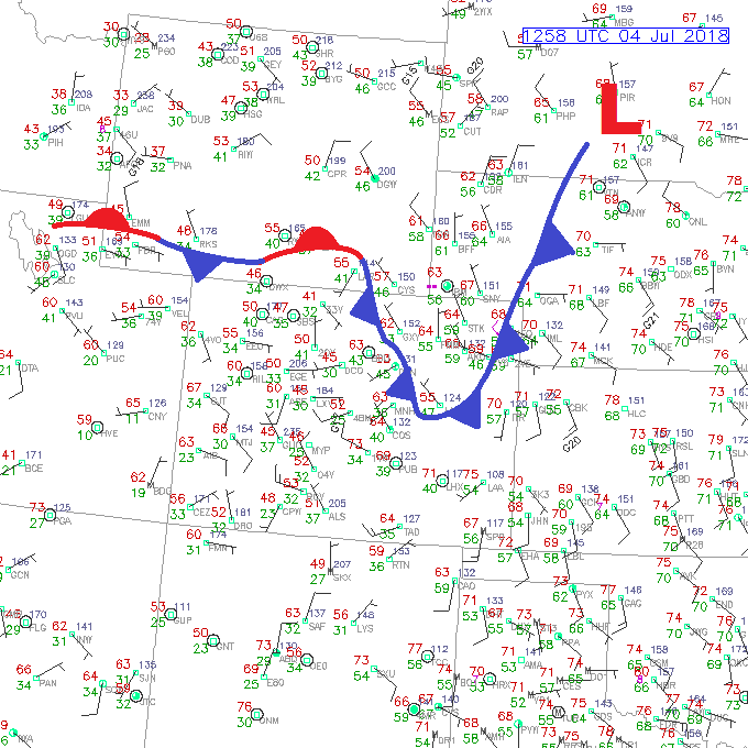
Today’s Flood Threat Map
For more information on today’s flood threat, see the map below (hover over threat areas for more details). For Zone-Specific forecasts, jump below the map.


Zone-Specific Forecasts
Front Range, Urban Corridor, Palmer Ridge, Northeast Plains, Southeast Plains, and Raton Ridge:
For areas south of Highway 50, including the Raton Ridge, an isolated thunderstorm or two will be possible east of the dryline, which includes the counties of Bent, Prowers, Baca, and eastern Las Animas. Periods of brief moderate-to-heavy rain, small hail, and gusty winds will be the main threats.
Areas to the north of Highway 50 will be the locations that experience the bulk of thunderstorm activity in the state today, as the cool front reinforces some low-level moisture and provides surface convergence and a bit of weak upslope flow. Generally speaking, the main threat from thunderstorms today will be hail and strong winds. A relative lack of good wind shear and deep moisture will prevent storms from producing the heavy rainfall necessary for a flood threat, but one or two storms will be capable of producing brief periods of moderate-to-heavy rainfall. A bit of street/field ponding in poorly drained areas, or those areas where hail accumulation clogs drainage, is possible, but that will be about it.
Maximum rain rates are as follows:
Front Range: 0.3-0.6 inches/hour
Urban Corridor: 0.4-0.8 inches/hour
Palmer Ridge: 0.5-1.0 inches/hour
Northeast Plains and Southeast Plains: 0.8-1.25 inches/hour
Raton Ridge: 0.3-0.6 inches/hour
Timing: 2 PM – 10 PM, with a few storms lingering until midnight (or just after) across the eastern plains
Northern Mountains, Northwest Slope, Central Mountains, Grand Valley, San Juan Mountains, Southeast Mountains, San Luis Valley, and Southwest Slope:
Mostly sunny skies and warm temperatures will mark Independence Day across the area, with a few isolated high-based showers/weak thunderstorms dotting the sky during the afternoon/evening hours. Any storm activity will remain confined to the higher elevations, mainly over the Southeast Slope, San Juan Mountains, Central Mountains, Southeast Mountains, and Northern Mountains. Streaks of virga and gusty winds will be the main result, with very little rainfall reaching the surface. The best chance at wetting rainfall will be over eastern portions of the Central Mountains, where rain rates will be 0.05-0.15 inches/hour. Rain rates will remain below 0.05 inches/hour elsewhere.
Timing: Noon – 9 PM