Issue Date: Friday, June 15, 2018
Issue Time: 10:55AM MDT
Summary:
Mid-level cloud cover increased quite a bit yesterday as the subtropical moisture started making its way into the state. This was all thanks to the help of the west coast trough and high pressure over New Mexico drawing the remaining moisture of Bud north. The low levels remained a bit too dry yesterday for higher rainfall totals. With dew points in the 30-40F range, inverted-V soundings produced very gusty winds under the cores. Gusts of 50-55 mph were recorded across the state. In Craig, a downburst knocked down a couple of power lines and a transformer. Over Kit Carson, blowing dust temporarily reduced visibility to under 1 mile.
As far as rainfall totals, the big winner yesterday was over Las Animas County where radar estimated totals just over 1 inch. A CoCoRaHS station south of Kim recorded 0.32 inches of rain. Not much precipitation was to be had over the San Juan Burn areas, rather gusty winds and lightning brought critical fire danger to the area. Currently the Burro fire has burned 3,400 acres and the 416 fire has burned 33,000 acres. The low-levels are expected to become more moist this evening over the southwest corner, which will allow rainfall to start reaching the ground. Totals over this region yesterday were estimated to be under 0.25 inches.
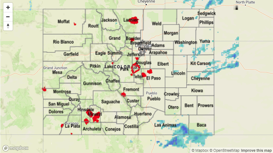
No flooding was reported on Thursday. To see how much precipitation fell across your neighborhood, scroll down to the State Precipitation Map below. Note: we’re having a few technical difficulties with MetStorm Live QPE data this morning, so we have used the MRMS bias corrected QPE instead.