Issue Date: Sunday, June 10, 2018
Issue Time: 10:40AM MDT
Summary:
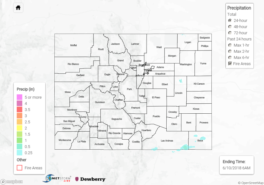
It was more of the same hot and dry weather for Saturday across Colorado, as the upper atmosphere ridge continued to stay put over the Southwest. Daytime highs near 100 degrees were felt across the eastern plains, and even the high country couldn’t escape the unusually hot weather. Some storms were able to develop over the Central Mountains, but with a lack of moisture to build off of they mostly created wisps of virga and the occasional light rain shower. The highest credible rainfall report, a CoCoRaHS gauge in Eagle County near Avon, recorded 0.1 inches for the day. There may have been higher rainfall totals elsewhere across the more sparsely-populated areas of the high country, but not enough for any sort of flooding to occur.
Click Here For Map Overview
Note: We have identified a possible underestimation in QPE over the southwest part of the state. We are working to on this issue, and will provide an update as soon as possible.