Issue Date: Sunday, June 10, 2018
Issue Time: 10:30AM MDT
— Flooding is NOT expected today.
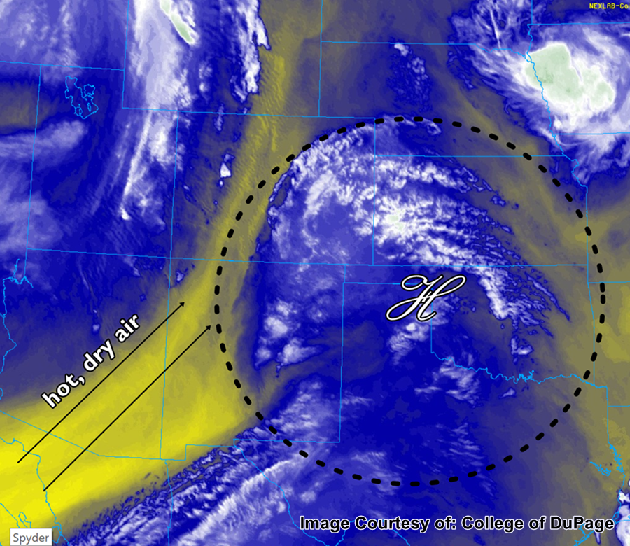
Steady winds from the south/southwest continue to bring in exceptionally hot and dry air throughout Colorado today, and should continue to strengthen as the day progresses. Afternoon high temperatures will range from around 100 in the southeast and southwest, to 90s along the Front Range and Urban Corridor, and to the low- to mid-70s across the high country. The dry, hot air at the surface, along with a large upper atmosphere ridge will also act to stifle any major storm development across the state. There is almost no rainfall and thus no flood threat in the forecast for today.
Today’s Flood Threat Map
For more information on today’s flood threat, see the map below. For Zone-Specific forecasts, scroll below the map.
Zone-Specific Forecasts:
Front Range, Urban Corridor, Palmer Ridge, Northeast Plains, Southeast Plains, Raton Ridge, and Southeast Mountains:
Hot, with temperatures ranging from the lower 90s to lower 100s for daytime highs. This, in conjunction with gusty winds up to 20-30 mph will make for extreme fire danger today, especially for the Southeast Plains and Raton Ridge. Use extra caution when working it anything flammable outside. By late this afternoon and in the evening, there is a very small chance for precipitation in the far northeast areas of Colorado, but due to the dry surface conditions hourly rainfall values of less than 0.1 inches are expected if any rain falls at all.
Northern Mountains, Northwest Slope, Grand Valley, San Juan Mountains, San Luis Valley, Southwest Slope, and Central Mountains:
Temperatures today will range from the mid-90s along the Southwest Slope to the low- to mid-70s in the Northern Mountains and Central Mountains. Winds generally from the southwest will increase during the day, and fire danger exists for the entire part of the state west of the Continental Divide. No appreciable rainfall is forecast, and expect puffy cumulus to develop in the afternoon hours giving temporary shade from the hot sun.