Issue Date: Saturday, June 9, 2018
Issue Time: 09:15AM MDT
— Flooding is NOT expected today.
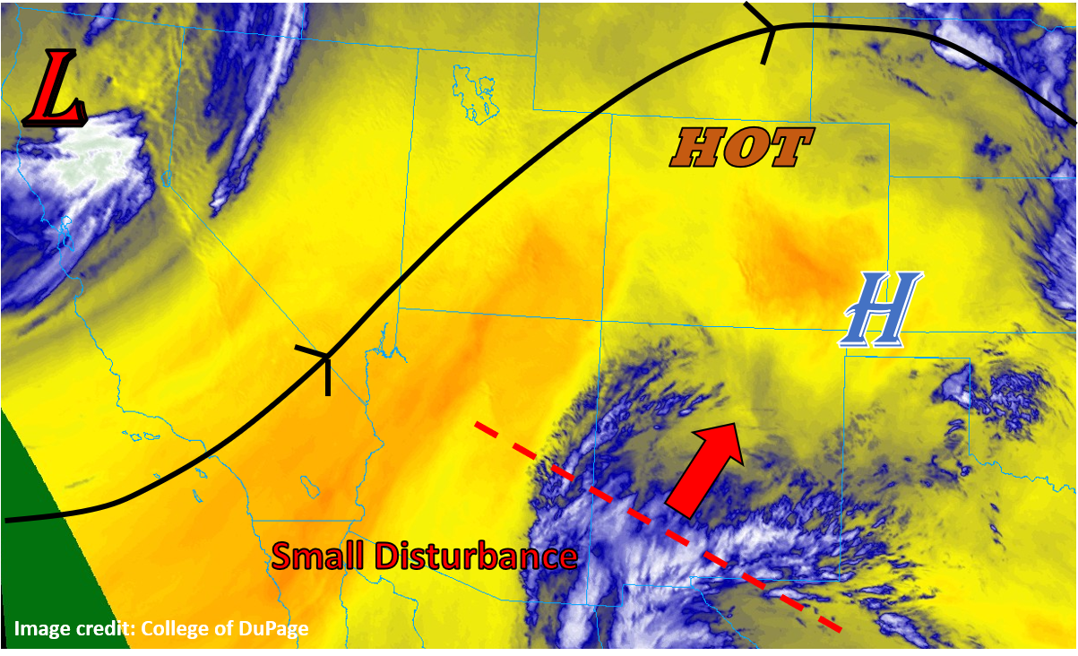
Heat continues to be the dominant player in Colorado weather today, as the strong ridge that has been overhead all week continues to control regional weather. Some subtle changes are beginning to take shape, as a powerful trough out west is beginning to break down the ridge over CO, but this will take some time. For today, it will be more hot, dry, and sunny weather statewide, with just a small chance of some storms tonight in the southeastern corner of the state as a small disturbance currently near the Mexico/New Mexico border drifts far enough north to have an influence. The water vapor imagery below illustrates the position of this feature nicely, as well as the position of the trough along the west coast. In between, very dry air dominates. Flooding is not expected today.
Today’s Flood Threat Map
For more information on today’s flood threat, see the map below. For Zone-Specific forecasts, scroll below the map.
Zone-Specific Forecasts:
Raton Ridge, Southeast Mountains, Southeast Plains:
Mostly sunny and hot through the day today, with cloud cover increasing through the afternoon ahead of the disturbance to the south. A few thunderstorms may manage to spring to life this evening, but they will have high cloud bases and a lot of dry surface air to overcome, so rain rates and total rainfall will be limited. Rates of up to 0.75” per hour are briefly possible under the strongest storms, but generally total accumulations will range from nothing to just 0.25”.
Primetime: 7PM to 3AM
Grand Valley, Northwest Slope, Northern Mountains, Central Mountains, Southwest Slope, San Juan Mountains, San Luis Valley, Front Range, Urban Corridor, Northeast Plains, Palmer Ridge:
Mostly sunny and hot today with temperatures easily running 10-15°F above normal today. Expect mid-90°Fs on the eastern plains with 80°Fs and 90°Fs across the western slopes and mountain valleys. Even the high peaks should reach well into the 60°Fs today. Cloud cover should increase this afternoon as diurnal convection gets going, but nothing is expected to produce any precipitation.