Issue Date: Friday, June 1st, 2018
Issue Time: 9:30 AM MDT
Summary:
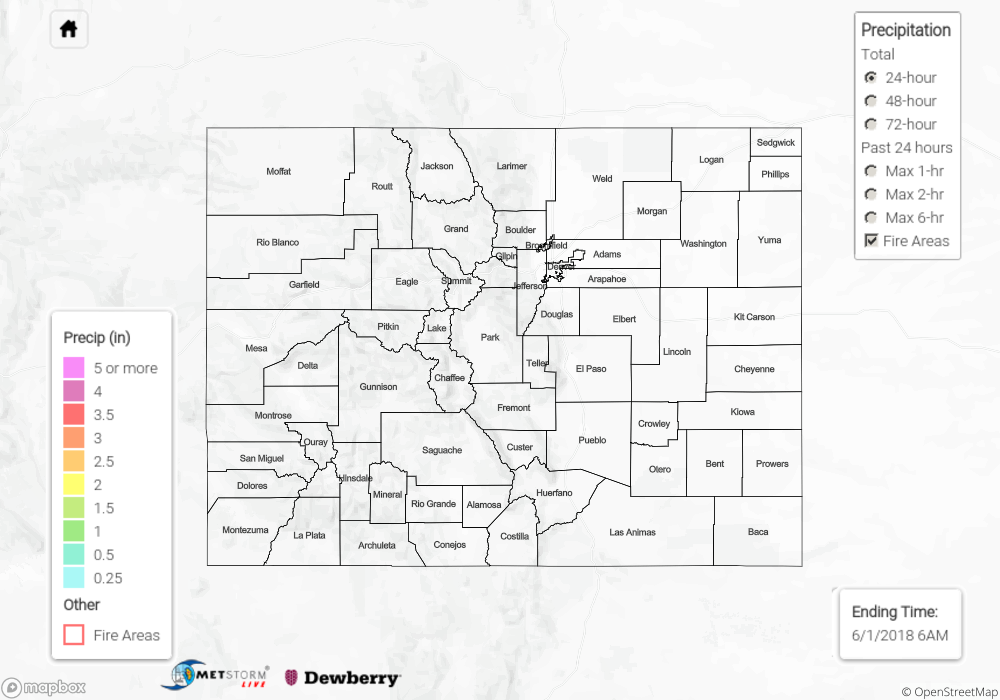
As high pressure and dry air invaded the state, moisture was ushered out and left Mother Nature with no choice but to provide plenty of sunshine and dry conditions. Cumulus clouds bubbled over and near the higher terrain, thanks to enough residual moisture and orographic support, but they did little more than provide shadows. Late in the afternoon and during the early evening hours, a few high-based showers developed over the Northern Mountains and northern Front Range, painting the sky with virga and producing gusty winds. The only rainfall observation came from near Estes Park, where a trace of rainfall was reported.
Click Here For Map Overview
Note: We have identified a possible underestimation in QPE over the southwest part of the state. We are working to on this issue, and will provide an update as soon as possible.