Issue Date: 6/1/2018
Issue Time: 6:30 AM
NO FLOOD THREAT IS FORECAST TODAY.
A low pressure trough passing through the region typically means unsettled weather for Colorado, but such is not the case today. Instead, we will be influenced by the base of the trough, reaping all of the dry, southwesterly-turning-westerly flow and none of the support for thunderstorm development. The result will be a dry and warm day statewide with critical fire danger conditions across much of the High Country and adjacent lower elevations. Steep lapse rates will allow for excellent mixing down of winds aloft, with 45-55 mph gusts at ridge top and 30-40 mph across adjacent lower elevations. Be sure to check in with your local National Weather Service for any information regarding the Red Flag Warnings that are in effect.
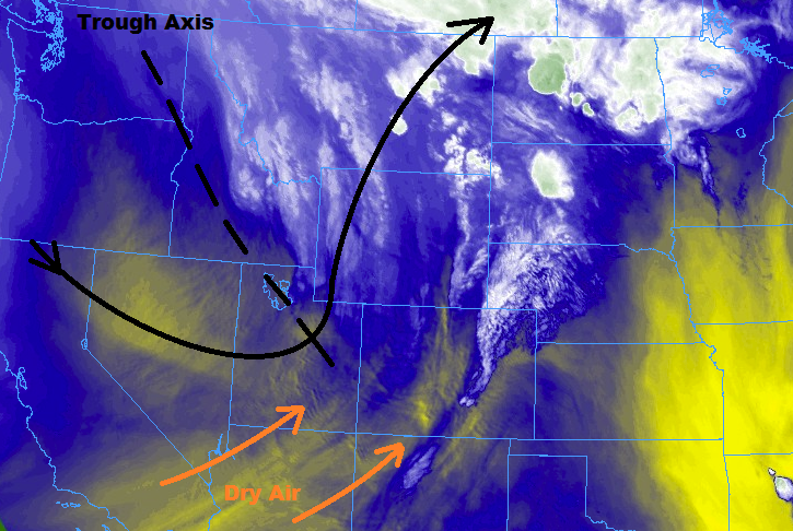
One area to watch for a few isolated thunderstorms will be along the CO/WY/NE border in extreme northern Colorado during the afternoon/evening. Near enough to the trough and with access to weak instability and/or assisted by orographic support, there will be enough to trigger a couple isolated, high-based thunderstorms. Very little, if any, rainfall is expected, and the main impacts will be gusty winds, lightning, and streaks of virga painting the sky.
Today’s Flood Threat Map
For more information on today’s flood threat, see the map below (hover over threat areas for more details). For Zone-Specific forecasts, jump below the map.


Zone-Specific Forecasts
Urban Corridor, Palmer Ridge, Northeast Plains, Southeast Plains, and Raton Ridge:
Hot and dry with gusty winds are the name of the weather game today, with Red Flag Warnings issued for portions of the Southeast Plains, Urban Corridor, Palmer Ridge, and Raton Ridge. Far northern portions of the Urban Corridor and Northeast Plains will see an isolated high-based storm or two during the afternoon/evening hours, but very little rainfall is expected. Maximum rain rates will be 0.05-0.15 inches/hour.
Timing: 3 PM – 11 PM
Northern Mountains, Northwest Slope, Front Range, Central Mountains, Grand Valley, San Juan Mountains, Southeast Mountains, San Luis Valley, and Southwest Slope:
Mostly sunny, dry, and warm conditions are expected, with critical fire danger across much of the area (Red Flag Warnings are in place – check with your local NWS office). A few isolated, high-based thunderstorms are expected near the CO/WY border across the Northwest Slope, Northern Mountain, and Front Range regions. Very little rainfall is expected from any activity that may occur; instead, gusty winds and virga will be about all the atmosphere can muster. Rain rates will remain below 0.1 inches/hour.
Timing: NOON – 9 PM