Issue Date: Tuesday, May 22, 2018
Issue Time: 09:15AM MDT
Summary:
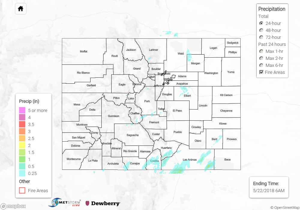
Showers and thunderstorms kicked off for southern Colorado just after noon yesterday with upper support from a shortwave. A couple stronger storms formed with small hail reported both in Alamosa and Durango. Alamosa airport recorded 0.12 inches of precipitation with nearby CoCoRaHS stations reporting 0.26 inches. Radar totals were estimated just over 0.25 inches in the San Luis Valley. To keep this is perspective, climatology at Alamosa airport for May is around 0.5 inches. These storms also produced a lot of winds with several airports reporting gusts up to 35 mph. A SNOTEL site in the Southeast Mountains reported 0.6 inches.
Later in the afternoon a line of storms formed over the Southeast Plains with the highest total over Las Animas County at 1 inch. Lastly, an isolated storm also fired over the Palmer Ridge. This storm produced a brief, weak tornado just after 5PM in an open field. Due to lower moisture, total rainfall was estimated just over 0.5 inches. By 11PM storms activity had stopped, with lingering showers over the far southeast corner for the state into the night.
No flooding was reported on Monday. For rainfall estimates in your area, scroll down to the State Precipitation Map below.
Click Here For Map Overview
Note: We have identified a possible underestimation in QPE over the southwest part of the state. We are working to on this issue, and will provide an update as soon as possible.