Issue Date: Friday, May 18, 2018
Issue Time: 10:25AM MDT
Summary:
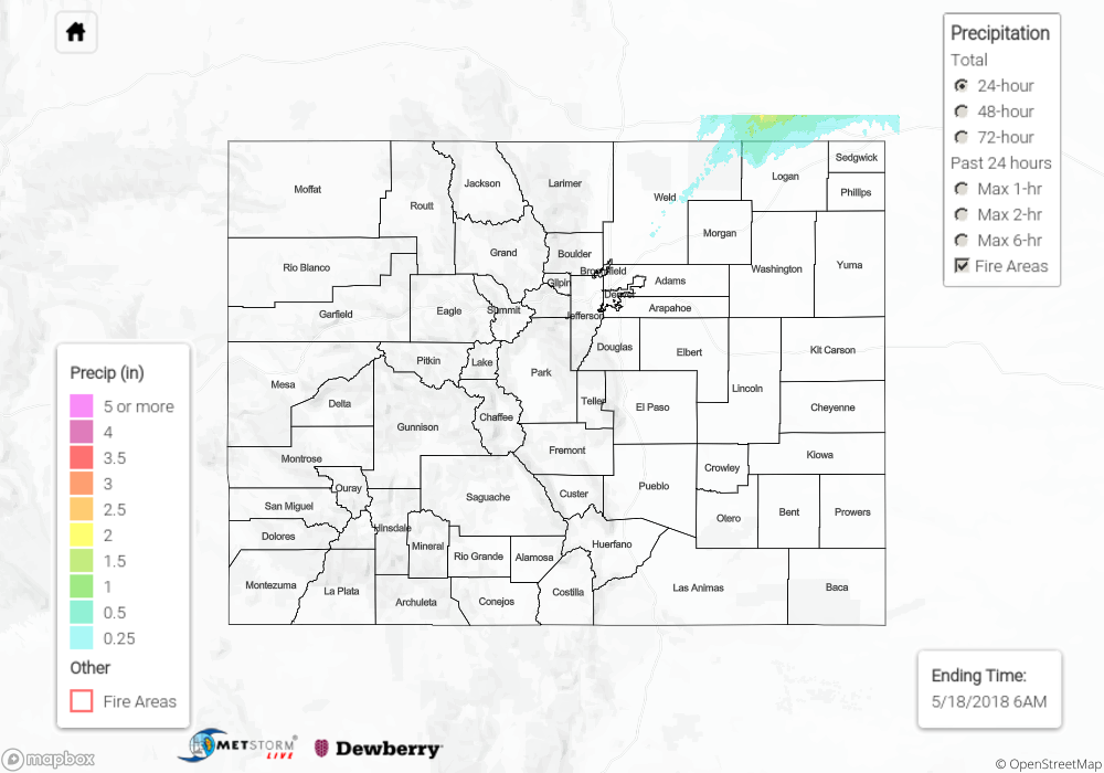
Late day convergence along a boundary helped fuel some isolated thunderstorms over the northern Urban Corridor and Northeast Plains yesterday. These elevated thunderstorms produced stronger winds rather than hefty rainfall. A gust of 40 mph was recorded at the Greeley airport, and 1 inch hail was reported in Peetz. As the storms tracked to the east/northeast, they exited the state by 9PM into the panhandle of NE. Heavy, overnight convection occurred in the panhandle into this morning. A small portion of this convection sneaked its way back into Weld County at the Colorado/Nebraska state line. Radar estimates over the area were 1 inch.
Flooding was not reported Thursday. To see rainfall estimates in your area, scroll down to the State Precipitation Map below.
Click Here For Map Overview
Note: We have identified a possible underestimation in QPE over the southwest part of the state. We are working to on this issue, and will provide an update as soon as possible.