Issue Date: Thursday, May 17th, 2018
Issue Time: 9:30 AM MDT
Summary:
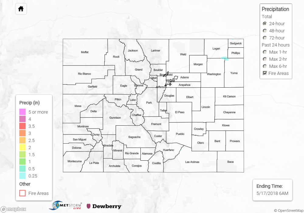
As far as precipitation is concerned, yesterday was one of the more boring days in recent weeks. Dry and warm conditions dominated the day as the upper ridge, and associated dry air, capped off the environment and suppressed any potential development. A few streaks of virga painted the sky during the late afternoon and evening, but that was all Mother Nature could muster. With the capped environment, a moisture influx was able to prime the atmosphere for a couple strong-to-severe thunderstorms today over the eastern plains – be sure to check in with the FTB for more information.
Flash flooding was not reported yesterday. For a look at precipitation estimates in your area, please see our State Precipitation Map below.
Click Here For Map Overview
Note: We have identified a possible underestimation in QPE over the southwest part of the state. We are working to on this issue, and will provide an update as soon as possible.