Issue Date: Saturday, May 12th, 2018
Issue Time: 9:30 AM MDT
Summary:
Warm and dry conditions could be found across much of the state yesterday, especially for those areas south of the I-70 corridor where dry southwest flow aloft dominated the forecast. To the north, a few isolated showers/thunderstorms were able to dot the area thanks to an influx of low-level moisture from the north and east, producing mainly gusty winds and light rainfall, with plenty of virga to go around. A few storms were able to produce between 0.1-0.25 inches of rainfall accumulation over the Front Range, Urban Corridor, and Northeast Plains; they couldn’t muster anything close to flooding thresholds.
If you look back to yesterday’s FTB, we discussed gusty winds thanks to a tightening pressure gradient, and that’s exactly what we got, especially across the western slope. Check out some of the stronger non-thunderstorm wind reports:
65 mph: Mt. Abrahms (Ouray County)
60 mph: Kendall Mountain (San Juan County)
57 mph: Eagle Mountain (San Juan County)
54 mph: Douglas Pass (Garfield County)
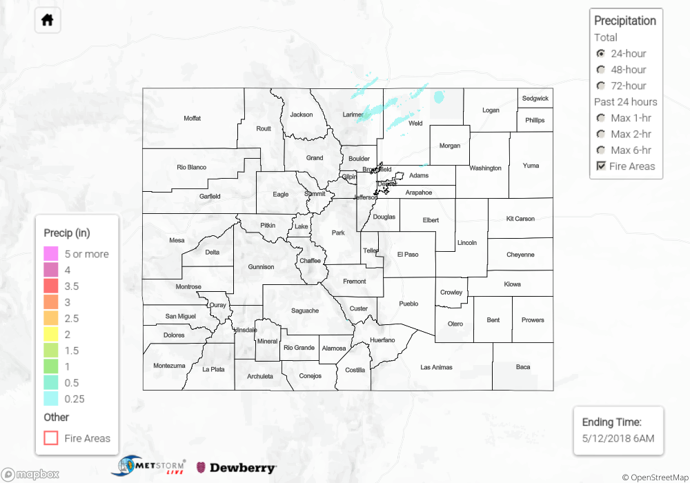
Flash flooding was not reported yesterday. For a look at precipitation estimates in your area, please see our State Precipitation Map below.
Click Here For Map Overview
Note: We have identified a possible underestimation in QPE over the southwest part of the state. We are working to on this issue, and will provide an update as soon as possible.