Issue Date: 5/10/2018
Issue Time: 9:00 AM

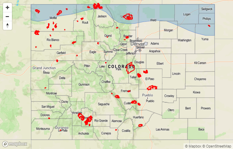
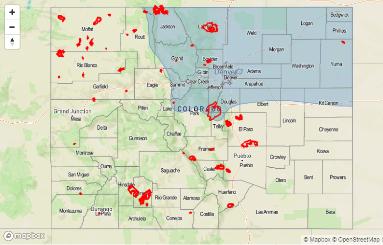
Today’s edition of the FTO features two events, both highlighted in the water vapor imagery below. Event #1 is an extended event, covering five days, but will be marked more by windy conditions and warm temperatures than rainfall capable of flooding. Currently, Event #1 is marked by a mid-/upper-level low-pressure trough, with its circulation centered of the coast of the Pacific Northwest and southwest Canada. This low pressure circulation will drop southward into the Great Basin by late Friday (May 11th), placing Colorado under southwest flow aloft. This southwest flow will be dry, as indicated by the vast expanse of dry air (brown colors in water vapor image) currently situated across the eastern Pacific. The low-pressure aloft will basically spin in place through Tuesday (May 15th) as it becomes cutoff from the main flow and blocking sets up. A surface cold front will oscillate north and south across the state this weekend while the low pressure spins in place, attempting to allow low-level moisture to return. It isn’t expected to result in much precipitation potential, but will allow for a few isolated showers/thunderstorms to develop daily, mainly over the Northern Mountains, Central Mountains, Front Range, Urban Corridor, Palmer Ridge, and Northeast Plains regions. By Tuesday (May 15th), the low-pressure will finally be washed out and kicked to our east by a high-pressure ridge ahead of the approach of another low-pressure system (Event #2).
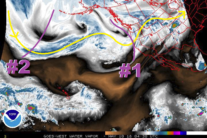
Between Event #1 and Event #2, a couple of dry days are expected as a transient high pressure ridge briefly takes over. Event #2 will begin next Friday, May 18th, as the next upper-level low moves into the Great Basin. This low will move much quicker across the region than Event #1, as blocking fails to set up and the low remains a part of the main flow regime. This system will have more moisture with it, as low level flow helps transport Gulf of Mexico moisture across the Great Plains and into Colorado, but unfortunately it appears the bets upper-level support will remain to our north and east, hampering our rainfall potential. Still, this event needs careful watching, because a shift south in the low track would bring heavier rain to the state. After Event #2, uncertainty reigns supreme, which is typical for this time of year. Models have been trending towards and third event to closely follow Event #2 on Monday, May 21st through Tuesday, May 22nd, but it is too uncertain at this time to make that call. We will keep a close eye on this and have more information in Monday’s edition of the FTO.
Event #1: Friday (05-11-2018) through Tuesday morning (05-15-2018)
No Apparent Threat as Dry Air Shunts Precipitation Potential
The low-pressure aloft that is the focus of Event #1 will become cutoff from the main flow regime, spinning in place over the Great Basin for the better part of 5 days. Unfortunately, it will remain too far west to bring good moisture into the state, instead pulling dry air from the eastern Pacific into our area. Fire danger will mark this period more than precipitation, as windy conditions are expected as the pressure gradient remains fairly strong due to the pattern. A few isolated showers/thunderstorms will be possible, though, mainly across the Northern Mountains, Central Mountains, Front Range, Urban Corridor, Palmer Ridge, and Northeast Plains regions as an oscillating frontal boundary tries to bring Great Plains moisture into the area.

Event #2: Friday (05-18-2018) through Saturday (05-19-2018)
No Apparent Threat as Best Support Remains over Wyoming
A much quicker moving event than Event #1, Event #2 features an upper-level low that will traverse Colorado over two days. Unfortunately for our rain chances, this low will keep the best support aloft over Wyoming. However, easterly low-level flow will attempt to bring Great Plains/Gulf of Mexico moisture into eastern Colorado, which will set the stage for a classic eastern Colorado severe weather event. Flash flooding isn’t anticipated at this moment, but isolated-to-scattered thunderstorms would bring brief shots of heavy rain to the eastern Plains. We’ll keep an eye on this event as we get closer.