Issue Date: Wednesday, May 9th, 2018
Issue Time: 9:30 AM MDT
Summary:
High pressure built overhead yesterday, ushering in dry air from the northwest and suppressing residual moisture from doing anything more than creating a few fair weather cumulus clouds. This left Colorado with plenty of sunshine and warm temperatures, so hopefully you were able to get outside and enjoy it, even if for only a few minutes. Overnight, a few high clouds made their way into far western Colorado thanks to the approach of a weak, upper-level disturbance and associated increase in moisture.
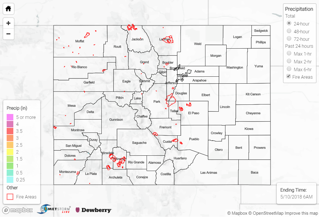
Flash flooding was not reported yesterday. For a look at precipitation estimates in your area, please see our State Precipitation Map below.
Click Here For Map Overview
The map below shows radar-estimated, rainfall gage-adjusted Quantitative Precipitation Estimates (QPE) across Colorado. The map is updated daily during the operational season (May 1 – Sep 30) by 11AM. The following six layers are currently available: 24-hour, 48-hour and 72-hour total precipitation, as well as maximum 1-hour, 2-hour and 6-hour precipitation over the past 24 hour period (to estimate where flash flooding may have occurred). The accumulation ending time is 6AM of the date shown in the bottom right corner. Also shown optionally are fire burn areas since 2012. The home button in the top left corner resets the map to the original zoom.
Note: We have identified a possible underestimation in QPE over the southwest part of the state. We are working to on this issue, and will provide an update as soon as possible.
Note: We have identified a possible underestimation in QPE over the southwest part of the state. We are working to on this issue, and will provide an update as soon as possible.