Issue Date: Sunday, May 6th, 2018
Issue Time: 9:30 AM MDT
Summary:
High pressure remained in charge of Colorado weather yesterday, allowing temperatures to climb higher than the previous day. The vast majority of the state remained dry and underneath mostly sunny skies. However, during the late afternoon and early evening hours, cumulus clouds bubbled and a few high-based showers developed over the High Country, producing plenty of virga and a few brief bouts with sprinkles. A couple of these high-based showers drifted over adjacent low elevations, producing nothing more than gusty winds and virga. After sunset, the loss of daytime heating effectively shut off any activity, and it was a quiet night across Colorado.
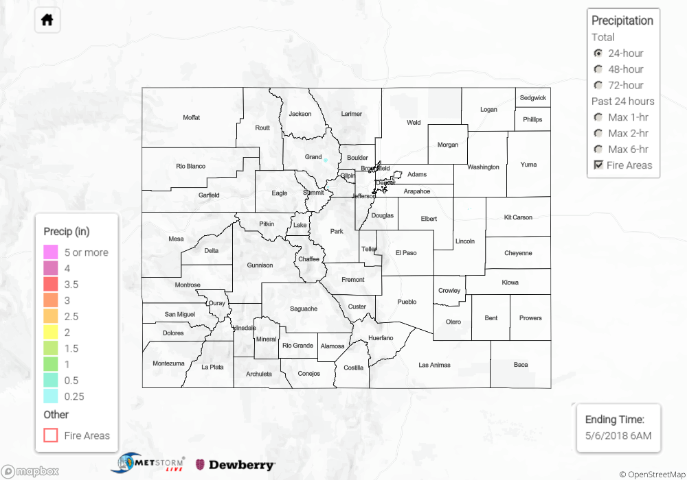
Flash flooding was not reported yesterday. For a look at precipitation estimates in your area, please see our State Precipitation Map below.
Click Here For Map Overview
Note: We have identified a possible underestimation in QPE over the southwest part of the state. We are working to on this issue, and will provide an update as soon as possible.