Issue Date: Saturday, May 5th, 2018
Issue Time: 9:30 AM MDT
Summary:
As upper-level ridging built across the state, moisture exited, and Colorado was left with a near-perfect end to the work week. Residual moisture remaining from the recent rains helped to generate isolated weak showers over, and immediately adjacent to, the higher terrain, resulting in nothing more than a few sprinkles and some gusty winds. If you didn’t get the chance to go outside yesterday, you should take a look at today’s FTB and get outside today.
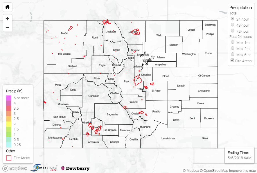
Flash flooding was not reported yesterday. For a look at precipitation estimates in your area, please see our State Precipitation Map below.
Click Here For Map Overview
Note: We have identified a possible underestimation in QPE over the southwest part of the state. We are working to on this issue, and will provide an update as soon as possible.