Issue Date: 5/4/2018
Issue Time: 7:45 AM
NO FLOOD THREAT IS FORECAST TODAY.
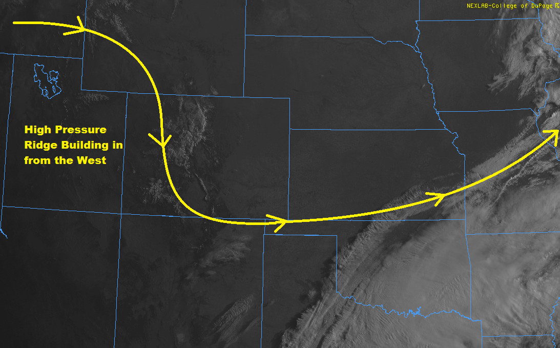
There will not be much to write home about with regards to today’s weather forecast. As you can see in this morning’s visible satellite image, a few clouds remain over the mountains, but otherwise it’s a clear morning across the state. High pressure is building in from the west, which will allow drier air from the northwest to move in. However, with the amount of moisture that has fallen the last couple of days, there will be enough residual moisture to muster isolated-to-widely scattered showers/weak thunderstorms over the mountains. The best coverage, relatively speaking will be over the San Juan Mountains and Southeast Mountains, with more isolated activity across the higher elevations elsewhere across the state. For lower elevations, including mountain valleys, Urban Corridor, Palmer Ridge, and the plains, dry conditions will prevail with temperatures warming 10-20 degrees over yesterday’s highs.
Today’s Flood Threat Map
For more information on today’s flood threat, see the map below (hover over threat areas for more details). For Zone-Specific forecasts, jump below the map.


Zone-Specific Forecasts
Urban Corridor, Palmer Ridge, Northeast Plains, Southeast Plains, and Raton Ridge:
Drier and warmer, with abundant sunshine. Not much to say other than a beautiful day is expected. A stray, high-based shower briefly moving off the mountains and overhead cannot be ruled out for areas immediately adjacent to the mountains, like the far western portions of the Urban Corridor, Southeast Plains, and Raton Ridge. Rainfall from any such activity will be barely enough to wet the pavement, with rain rates less than 0.1 inches/hour.
Timing: 2 PM – 9 PM
Northern Mountains, Northwest Slope, Front Range, Southeast Mountains, Central Mountains, San Juan Mountains, Grand Valley, San Luis Valley, and Southwest Slope:
Isolated-to-widely scattered showers/thunderstorms are expected for the higher elevations, as orographic effects, sunshine, and residual moisture combine to create meager precipitation. Snow levels will be around 12000 feet, with accumulations in the trace-to-1 inch range. Rain rates below 12000 feet will be in the 0.05-0.15 inches/hour range for most locations, with maximum rain rates in the 0.15-0.25 inches/hour range over the Southeast Mountains and San Juan Mountains regions.
For lower mountain valleys, including the San Luis Valley and the lower elevations of the Grand Valley region, dry and warmer conditions are expected to prevail.
Timing: 11 AM – 9 PM