Issue Date: Wednesday, May 2nd, 2018
Issue Time: 7:00 AM MDT
Summary:
An upper-level disturbance rotating into the region helped to support widely scattered showers and thunderstorms during the afternoon/evening hours yesterday, with the strongest storms tracking over the Front Range, Urban Corridor, and Northeast Plains. The stronger storms in these regions produced hail, strong winds, and periods of moderate rainfall. Severe storm reports from these storms includes:
1.5 inch hail: 3 miles NNE of Yuma (Yuma County)
1.25 inch hail: 2 miles S of Platner (Washington County)
1 inch hail: Yuma (Yuma County), Firestone (Weld County), and SW Akron (Washington County)
A weak surface cool front that began the day over the Northeast Plains drifted south during the evening hours, kicking off a few showers/weak thunderstorms over the Palmer Divide, resulting in mainly light rain and gusty winds.
As the evening turned to nighttime and early morning, the activity over these regions slowly came to an end and shower activity over the high country increased in coverage. Owing to a lack of good low-level moisture, these showers produced light rain and gusty winds, with plenty of virga to go around.
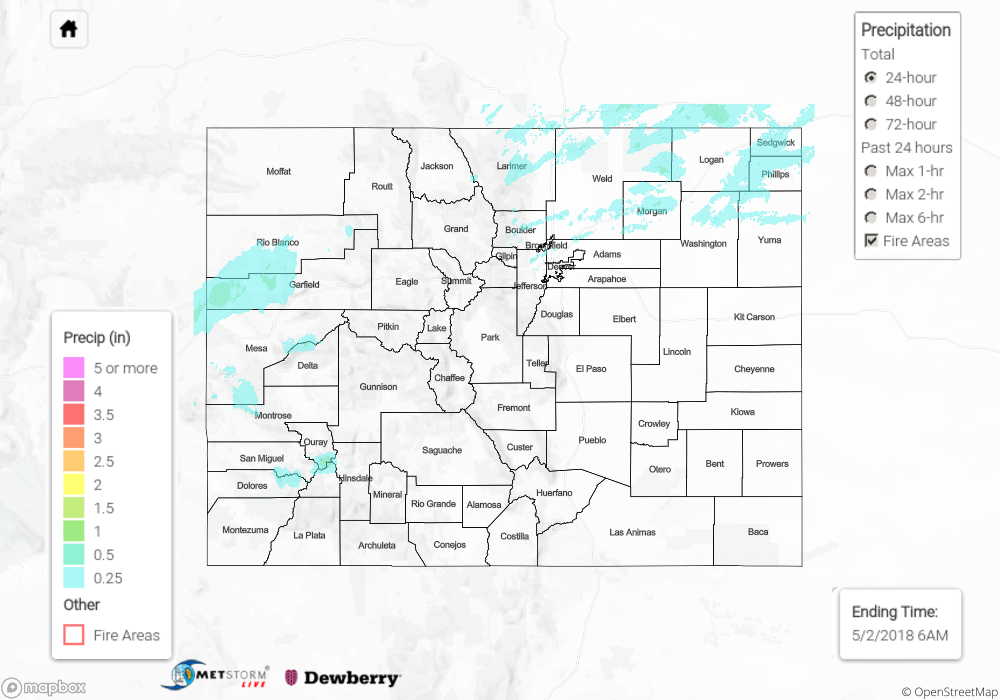
Flash flooding was not reported yesterday. For a look at precipitation estimates in your area, please see our State Precipitation Map below.
Click Here For Map Overview
Note: We have identified a possible underestimation in QPE over the southwest part of the state. We are working to on this issue, and will provide an update as soon as possible.