Issue Date: 6/01/2015
Issue Time: 10:15 AM
NO FLOOD THREAT IS FORECAST.
The first day of Meteorological Summer will feature an early summer-like day, and the water vapor image below tells that story well. The upper-level high pressure ridge (marked by the blue “H”) is currently situated over the Central/Southern Rockies and will shift eastward today as the upper-level low (red “L”) continues to push in over the Pacific Northwest. As the ridge slides east, flow aloft will become more west/southwesterly, bringing in warmer, drier air from the west/southwest.
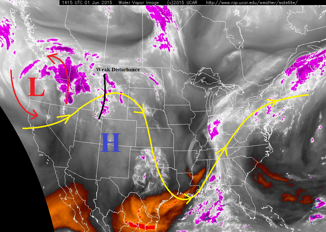
Aside from the usual orographic culprit producing isolated showers/thunderstorms over the higher terrain, the main feature of the day that will interrupt the sunshine is the embedded weak disturbance (black line). This disturbance will rotate around the ridge, helping to organize isolated-to-scattered thunderstorms over eastern Colorado this afternoon and evening. While most showers/thunderstorms will remain high-based across the state, it is over the Northeast Plains, Southeast Plains, and Palmer Ridge that storms will tap into more moisture, shear, and instability, giving storms the necessary ingredients to become strong-to-severe. The main threats will be lightning, gusty winds, hail, and brief heavy rain.
Today’s Flood Threat Map
For more information on today’s flood threat, see the map below (hover over threat areas for more details). For Zone-Specific forecasts, jump below the map.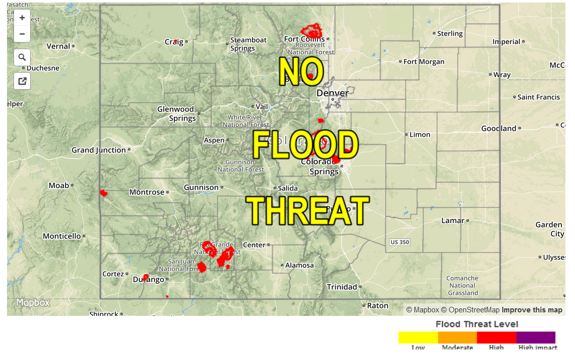
Zone-Specific Forecasts
Front Range and Urban Corridor:
Mostly sunny and warm, with isolated-to-scattered showers and thunderstorms expected this afternoon and evening, diminishing quickly after sunset with the loss of daytime heating. Expect storms to be high-based, producing mainly gusty winds and lightning. Rain rates will generally be in the 0.2-0.5 inches/hour range, with storm motions limiting the amount of rainfall potential in any one location.
Timing: Noon – 8 PM
Palmer Ridge, Southeast Plains and Northeast Plains:
Isolated-to-scattered showers and thunderstorms are expected this afternoon and evening, with a few becoming strong-to-severe. Brief, heavy rain will fall from the stronger storms, with maximum rain rates of 2.0-2.5 inches/hour under the strongest storms. However, easterly storm motions will be relatively quick, limiting rainfall potential in any one location, and thus no flood threat will be issued. Gusty winds (greater than 50 mph), hail (greater than 1 inch in diameter), and lightning will be threats with the strongest storms, so be sure and monitor local NWS offices for any warnings associated with these storms.
Timing: 1 PM – Midnight
Northern Mountains, Northwest Slope, Central Mountains, San Juan Mountains, Grand Valley, San Luis Valley, Southwest Slope, Southeast Mountains and Raton Ridge:
High-based, isolated, weak showers and thunderstorms are expected to develop by 11 AM, continuing through the afternoon, before diminishing quickly after sunset with the loss of daytime heating. The relative “bulk” of the isolated activity will be confined to the higher terrain of the San Juan Mountains, Central Mountains, and Northern Mountains. Showers and thunderstorms will attempt to drift over the lower valleys, but storms that do will diminish quickly without the continued orographic support. Maximum rain rates will be 0.2-0.4 inches/hour, but with dry air expected below cloud bases, the effective rain rates will likely be closer to 0.1-0.3 inches/hour.
Timing: 11 AM – 8 PM