Issue Date: Friday, September 22, 2017
Issue Time: 11AM MDT
Summary:
A large upper-level trough approached Colorado on Thursday, but was hardly noticed at the surface. Gusty, dry southwesterly winds caused very low relative humidity levels once again, keeping the fire danger elevated. Additionally, plenty of sunshine and downsloping flow (east of the Continental Divide) resulted in temperatures much above normal. Temperatures reached as high as the mid-90s F in the lower elevations of the Arkansas River. The Denver metro reached the low-90s F, which was a daily record. Winds gusted to 45 mph statewide, with gusts up to 60 mph in the higher mountain passes.
Later in the day, some upper-level forcing generated isolated to scattered showers over the higher terrain of southwest Colorado. Due to the dry lower atmosphere, only a few tenths of an inch of rainfall were measured, limited to the higher elevations.
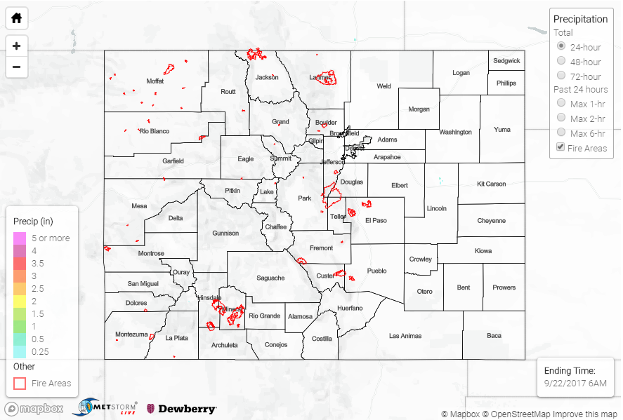
Flooding was not reported on Thursday. For rainfall estimates in your area, check out our State Precipitation Map below.
Click Here For Map Overview
Note: We have identified a possible underestimation in QPE over the southwest part of the state. We are working to on this issue, and will provide an update as soon as possible.