Issue Date: Saturday, September 16, 2017
Issue Time: 10:20 AM MDT
Summary:
The upper-level low that was responsible for the unsettled day on Thursday continued to produce showers and thunderstorms yesterday, mainly across the western half of the state. Rain rates were generally light-to-moderate, with the heaviest report being 0.36 inches of rain in 20 minutes in Orchard Mesa. Additionally, light snow fell on the higher peaks. During the nighttime hours, a few showers continued across the western slope, but the main show was along/east of the Front Range as a cold front pushed southward through the area. Behind the cold front, moisture and upslope flow increased, kicking off a couple stronger thunderstorms that rumbled across the Front Range, Urban Corridor, and Northeast Plains.
Only two storm reports were submitted to the National Weather Service yesterday:
0.75 inch hail: 2 miles N of Firestone (Weld County), Orchard Mesa (Mesa County)
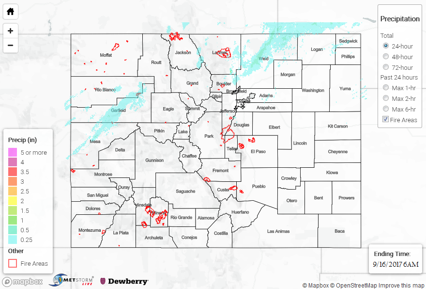
Flash flooding was not reported on Friday. For a look at precipitation estimates in your area, please see our State Precipitation Map below.
Click Here For Map Overview
Note: We have identified a possible underestimation in QPE over the southwest part of the state. We are working to on this issue, and will provide an update as soon as possible.