Issue Date: Friday, September 8, 2017
Issue Time: 10:05AM MDT
Summary:
A shortwave moving southward out of Wyoming helped provide an increase in shower and thunderstorm coverage, mainly across the High Country. However, with only marginal boundary layer moisture, rainfall rates were limited. CoCoRaHS reports of a few tenths of an inch to as much as 0.5 inches were received in Las Animas, Huerfano, Pueblo and Archuleta counties. Radar-based estimates suggest up to 1 inch of rainfall fell in isolated parts of these areas. A precautionary Areal Flood Advisory was issued for the Junkins burn scar yesterday afternoon where a 0.25 to 0.5 inches of rain was estimated by radar. Farther north, storm coverage was isolated to widely scattered with only a trace to 0.1 inches.
Otherwise, hazy skies were once again commonplace across most of the state from the Pacific Northwest fires.
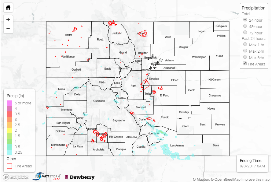
Flooding was not reported on Thursday. For rainfall estimates in your area, check out our State Precipitation Map below.
Click Here For Map Overview
Note: We have identified a possible underestimation in QPE over the southwest part of the state. We are working to on this issue, and will provide an update as soon as possible.