Issue Date: Monday, September 4, 2017
Issue Time: 09:45AM MDT
Summary:
The persistent high pressure to the west continued the heat wave yesterday. High temperatures over the eastern plains were in the mid to upper 90s with a few places reaching 100F. Temperatures also reached the upper 90s over the Grand Valley. In the mountains, highs generally continued to run 5-10F above climatology. Smoke remained over northern Colorado and portions of the eastern plains yesterday from the ongoing fires in Idaho and Montana. The smoke was advected into the state as it circulated around the high pressure system and limited visibility in these regions.
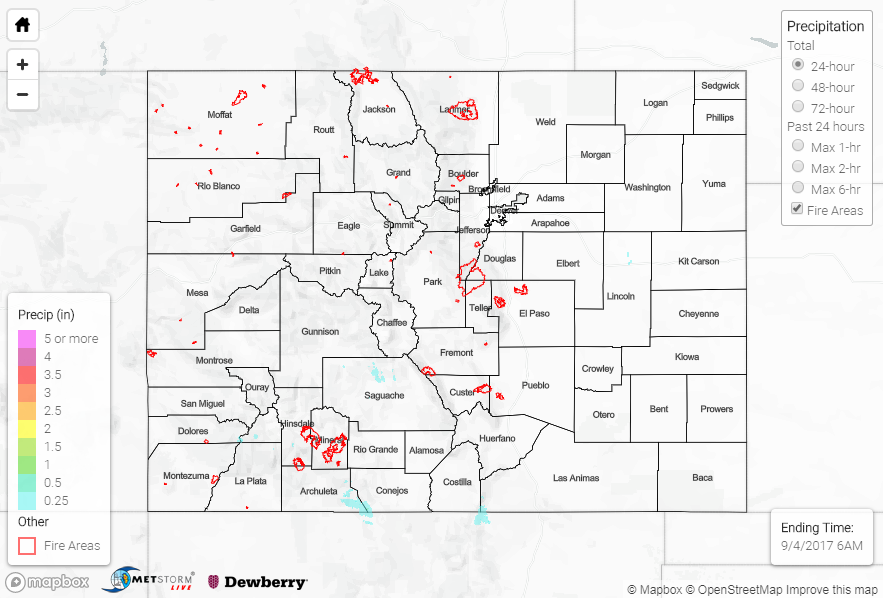
Another quiet day for rainfall as anticipated. A few storms over the Front Range produced totals under 0.1 inches. The strongest showers occurred over the San Juan Mountains and Southwest Slopes, but, again, not much rain was generated from these storms. A CoCoRaHS station in San Miguel County reported 0.13 inches, while SNOTEL sites over the San Juans recorded values around 0.2 inches. Radar estimates were as high as 0.5 inches.
Flooding was not reported on Sunday. To see how much rain fell in your area, scroll down and check out the State Precipitation Map below.
Click Here For Map Overview
Note: We have identified a possible underestimation in QPE over the southwest part of the state. We are working to on this issue, and will provide an update as soon as possible.