Issue Date: Saturday, July 22, 2017
Issue Time: 10:10AM MDT
Summary:
A plume of monsoon moisture helped support heavy rainfall again in the high country and plains once again yesterday. Storms began to fire over the higher terrain just after noon, and the high moisture allowed more coverage of storms than the previous day. In the late afternoon, the storms on the Front Range began to push off into the Urban Corridor. Subsequent outflow boundaries help fire a complex of storms over the Northeast Plains and Palmer Divide. Substantial cloud cover continues this morning from those storms yesterday over the eastern plains and high country. Numerous Areal Flood Advisories were issued yesterday for the heavy rainfall. A majority of the state recorded some trace of precipitation.
High rainfall totals returned again to the western slope. The most impressive total was the Weminuche Creek SNOTEL station in the San Juan Mountains that recorded 2.1 inches in 2-hours and had a 1-hour total rainfall of 1.8 inches. A CoCoRaHS station in Montezuma recorded 1.29 inches of rain in 50 minutes. Further north on the western slope around Garfield County, there were two road flooding incidents reported to the NWS Grand Junction. Both occurred near Rifle. Water was reported to be running over county road 233 for 150-200 yards and at county road 252 near Rifle Creek. Radar estimated storms totals were 2.2 inches. Also in Rifle, state highway 325 was closed due to mudslides between mile markers 5 and 6. The Glenwood Springs area had standing water on I-70 between mile markers 112 and 117. High storm totals in the mountains varied from just over 1 inch to 2.2 inches.
Over the Front Range, the Jones Pass SNOTEL station recorded 1.4 inches. Storm total was estimated to be 1.6 inches. As storms moved off the mountains in the Urban Corridor, a rainfall gauge near Rampart Range Road recorded 0.2 inches of rain in 30 min. Slaughterhouse Gulch rose 0.5 feet in 1 hour with the local, heavy rainfall. Gusty winds accompanied these thunderstorms and an outflow boundary with 64 mph gusts was recorded at Fort Morgan. Over the plains, a CoCoRaHS station in Washington County recorded 2.09 inches. Storm totals over the plains and Palmer Ridge were as high as 3 inches with max 1-hr rain rates up to 2.5 inches.
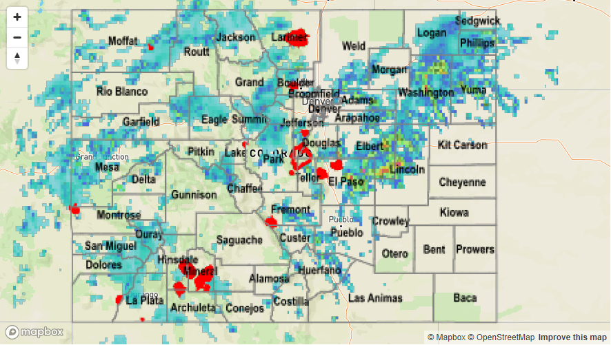
To see how much precipitation fell in your neighborhood over the last 24-hours, take a look at the Storm Total Precipitation Map below: