Issue Date: Friday, July 21, 2017
Issue Time: 11AM MDT
Summary:
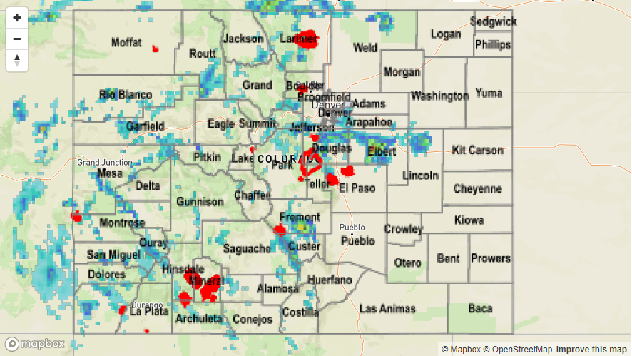
Scattered to numerous thunderstorms once again dotted Colorado’s landscape on Thursday. With Precipitable water levels remaining near or above 1 inch, early morning sunshine quickly generated instability, forming storms before noon. As is common with monsoon surges, the higher terrain received the highest coverage of storm activity. Slow moving storms delivered a quick 0.5 – 0.75 inches of rainfall, though isolated higher amounts were observed. For example, three SNOTEL sites received 1.5 inches of rainfall or more, with most of that falling in a 1 hour period. In all 9 Flash Flood Warnings or Areal Flood Advisories were issued on Thursday afternoon by the Grand Junction and Pueblo National Weather Service offices.
Though most storms were limited to the higher terrain, a few managed to stay intact as they crawled eastward off the Palmer Ridge. A quick 1 inch per of rainfall (up to 0.5 inches in 10 minutes!) was observed in southern parts of Denver metro with up to 2.5 inches falling in rural Elbert County. That cell also produced hail, with a report of 1 inch stones falling in Elbert County.
Fortunately, flooding was not officially reported on Thursday. For rainfall estimates in your area, check out our Precipitation Map below.