Issue Date: May 24, 2015
Issue Time: 9:10AM
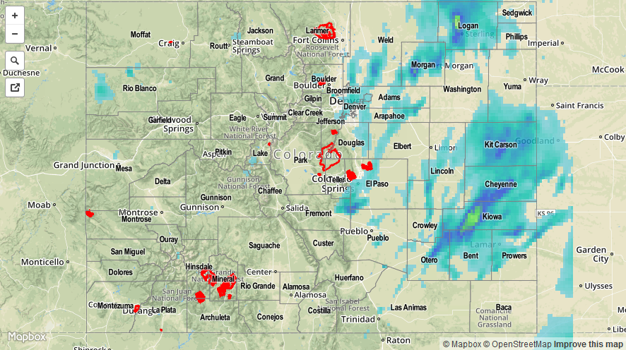
On Saturday, the pesky upper-level system that has been the talk of Colorado weather for the past 2-3 days, pushed closer to the state. Like spokes on a bicycle wheel, smaller features that were tied to the main system, rotated through the state causing numerous rounds of shower and thunderstorm activity. Fortunately, atmospheric instability was once again very marginal, arguably lower than forecasted possibly due to the early storm formation. This kept rainfall intensities below anticipated values and precluded any major flooding on day one of this holiday weekend. Most hourly rainfall intensities were in the 0.4 to 0.6 inch per hour range. There were bursts of much heavier rainfall, but this only lasted for very short periods of time. The one exception to this was in Logan County where radar estimated rainfall showed 2 to 3 inches of rainfall occurred, leading to flooding in parts of Sterling.
Highest observed 24-hour rainfall totals were about 1.50 inches. Morgan, Logan, Phillips and Prowers counties reported rainfall over 1 inch. A flash flooding report was received from Otero County in the afternoon, noting that Highway 50 was flooded. This report came from the same storm that produced a tornado.
Otherwise, hail was in no shortage on Saturday, with over two dozen reports received across the state. Most hail was pea size to half an inch owing to the aforementioned weak instability. However, several storms in the Southeast Plains produced hail up to 2 inches (Pueblo County).
Lastly, snow once again fell above 10,000 feet. What was considered to be a poor snow condition a month ago now appears to be coming closer to average, especially along and east of the Continental Divide.
As always, please check the map below for estimated rainfall in your area. Note that hail contamination inflated some of the totals east of the Divide.