Issue Date: Thursday, July 20, 2017
Issue Time: 10:15AM MDT
Summary:
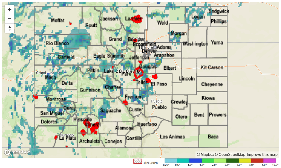
High moisture returned to the western slope and high country yesterday. Slow storm motion under the ridge created heavy rains. There were numerous Areal Flood Advisories and a Flash Flood Warning for Central Chaffee County where 1.6 inches of rain fell. 1.4 inches of rain were recorded at two SNOTEL sites. One in the north Medicine Bow Forest and another at Schofield Pass. At Schofield Pass, 1.3 inches of rain was recorded in 1-hour. Radar total storm estimates in the mountains were as high as 2.2 inches. Most storm reports came from more urban areas, which experienced small stream and street flooding. Near Meeker, Colorado, a thunderstorm dropped 1.15 inches of rain in 1 hour around 5PM. Outside Nathrop, CR 162 was closed due to 15 inches of water flowing over the top of the road. In north central Park County, 0.35 inches was recorded in 5 minutes at a UDFCD gage. Several reports of minor street flooding were relayed to the NWS over Grand Junction. The highest estimated rainfall was 3 inches in rural Elbert County.
To see how much precipitation fell the last 24-hours over the state, see the Storm Precipitation Map below.