Issue Date: Tuesday, July 18, 2017
Issue Time: 10:00AM MDT
Summary:
The ridge over northern Colorado limited the southerly surface winds and thus, moisture from the south. Weak upslope flow set up with a dry air mass yesterday afternoon. The strongest storms were confined to the mountains and southern Urban Corridor against the mountains. The southern portion of the high country favored higher moisture. Most storms that formed had gusty winds and small hail. The highest wind gust recorded was 30 mph at the Air Force Academy. Storm totals were up to 1 inch from the radar estimates over the mountains. CoCoRaHS highest total was in San Juan County with 0.5 inches.
Storms quickly weakened as they moved off the mountains, but not before dumping heavy rain over Colorado Springs. Most of the Urban Corridor reported totals were over an inch with the highest report being 1.38 inches at Peterson AFB. Radar estimates of 1-hour precipitation were just over one inch with totals as high as 1.5 inches. Just north of Colorado Spring, there was an Areal Flood Advisory for a storm that produced 0.87 inches in 20 minutes near Palmer Park. A USGS gage at Foothills Elementary recorded 0.7 inches in 1 hour. Gusty winds and small hail were also associated with the thunderstorms that formed yesterday. There were no storm reports other than this heavy rain as of this morning.
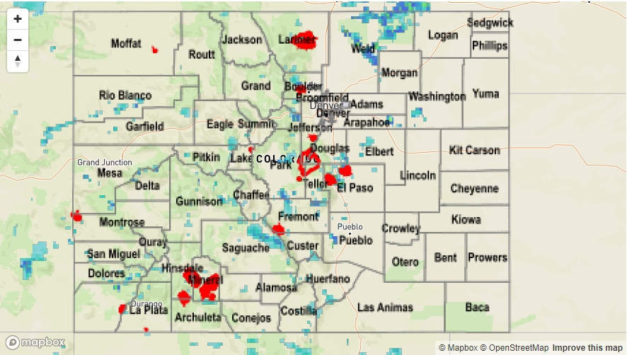
To see how much precipitation fell over the state in the last 24-hours, see the Storm Total Precipitation Map below.