Issue Date: Sunday, July 16th, 2017
Issue Time: 10:10 AM MDT
Summary:
Numerous thunderstorms produced heavy rainfall yesterday as high values of atmospheric moisture and a mid-level disturbance outdueled the upper-level ridge. Slow storm motions exacerbated the effect of heavy rain, allowing storms to dump rain over the same location for extended periods of time. Flash flooding was reported to the National Weather Service in multiple locations, including a mud flow on that closed Highway 285 just south of mile marker 148 in Chaffee County. Additionally, flood waters off of the Hayden Pass Burn Scar flooded a campground SW of Coaldale where residents and the campground were evacuated along County Road 6 (Fremont County). Further east over the plains, 2-3 feet of water covered the underpass at the intersection of Highway 287 and Highway 96 (street flooding was also observed in Eads).
Here is a quick listing of the heavy rain and flash flood reports submitted to the National Weather Service yesterday:
Heavy Rain: 3 miles SW of Air Force Academy (1.42 inches)
Heavy Rain 5 miles NE of Manitou Springs (1 inch)
Flash Flood: Eads (Kiowa County)
Flash Flood: 3 miles SSE of Buena Vista (Chaffee County)
Flash Flood: 4 miles SW of Coaldale (Fremont County)
Flash Flood: 1 mile SW of Coaldale (Fremont County)
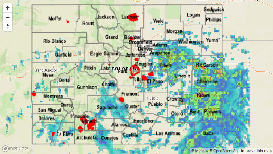
Please see the STP map below for a look at precipitation totals from the last 24 hours.